Optimising Project Success with Accurate Land Surveying
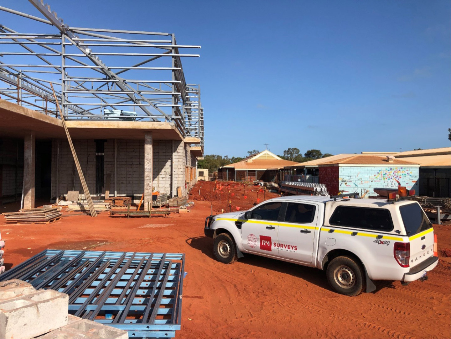
Our land surveying services are essential for various property development projects, including residential subdivisions, commercial complexes, and mixed-use developments. These surveys provide documentation needed to define individual strata lots and common property, ensuring that developers, investors, and owners have a clear understanding of asset allocation.
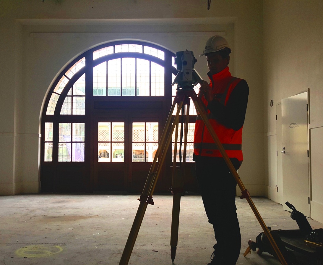
At RM Surveys, we specialise in delivering accurate strata and subdivision documentation, streamlining approvals and supporting property compliance to maximise project success. Our experienced team works closely with clients to navigate the complexities of strata titles and subdivisions, ensuring that each project meets the necessary legal and regulatory requirements.
By partnering with RM Surveys, stakeholders can be confident that their property developments are based on reliable data, facilitating smooth project progression and successful outcomes.