
This downloadable document showcases our innovative approach, advanced technology, and proven track record in delivering consulting services for surveying solutions. Learn how we partner with businesses to unlock the digital potential of their assets.
Spatial Consulting
Consulting
Delivering tailored spatial consulting solutions with unmatched precision, backed by years of industry experience and cutting-edge technology. Our expert team works closely with you to understand your unique needs, ensuring that every project is executed with accuracy, efficiency, and a commitment to achieving the best possible outcomes for your land and property assets.

Why Choose RM Surveys for Your Consulting Needs?
Accuracy
Our consulting service ensures precise data collection and analysis, providing you with the accuracy needed to make informed decisions and execute projects with confidence.
Reliability
Count on our reliable consulting expertise, backed by years of experience, to deliver consistent, dependable results that keep your project on track and within scope.
Tailored solutions
We offer customised consulting solutions designed to meet your specific needs, ensuring that every aspect of your project is addressed with precision and care.
Spatial Foundation
At RM Surveys, our expertise in spatial consulting and advanced spatial data services is backed by cutting edge technology and a commitment to delivering client-centric solutions.
By being able to adapt our data to meet the specific needs of your asset, you can ensure unparalleled accuracy and reliability.
Whether you’re a homeowner, property manager, or developer, our consultancy will empower you with the insights you need to best unlock the potential of your assets.
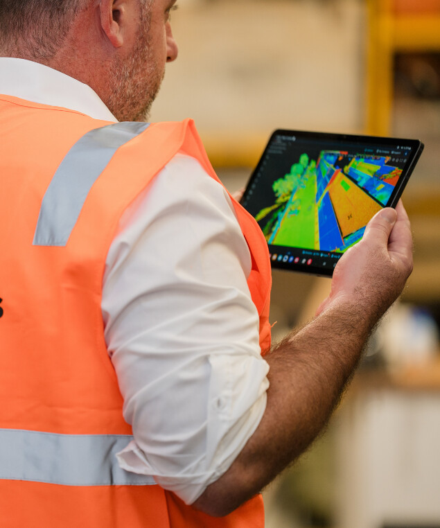
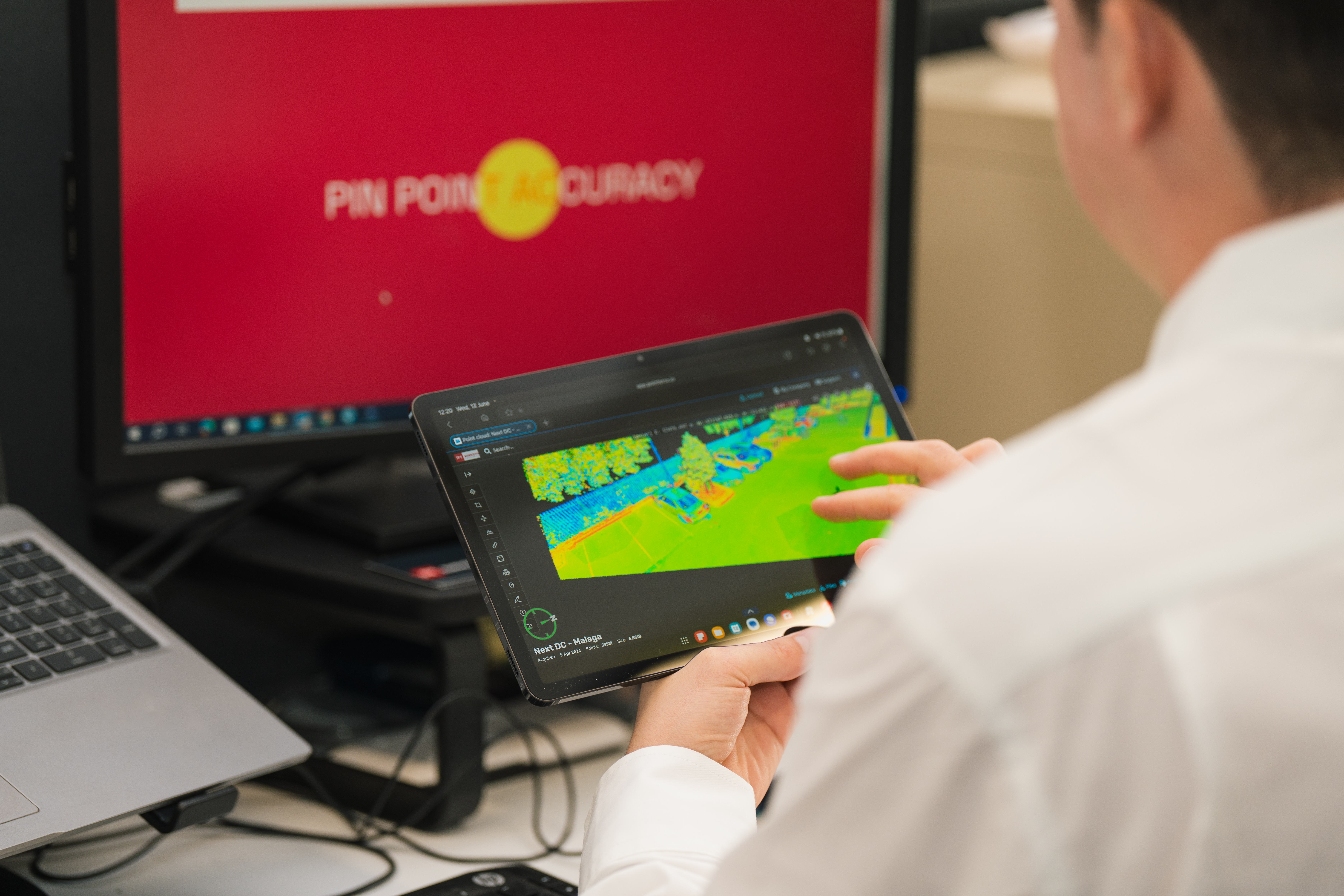
Precision, Insight, Action
Our Approach
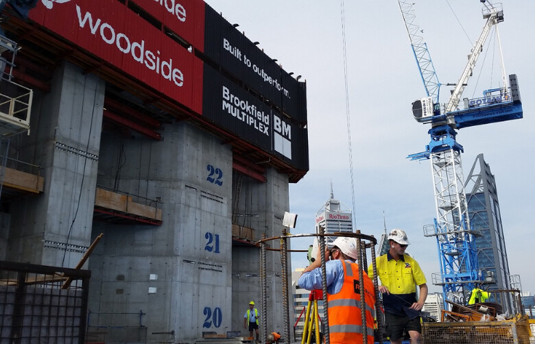
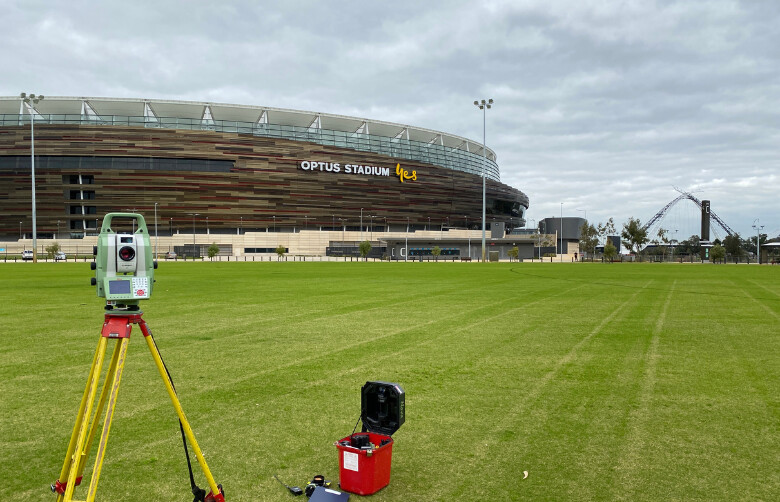
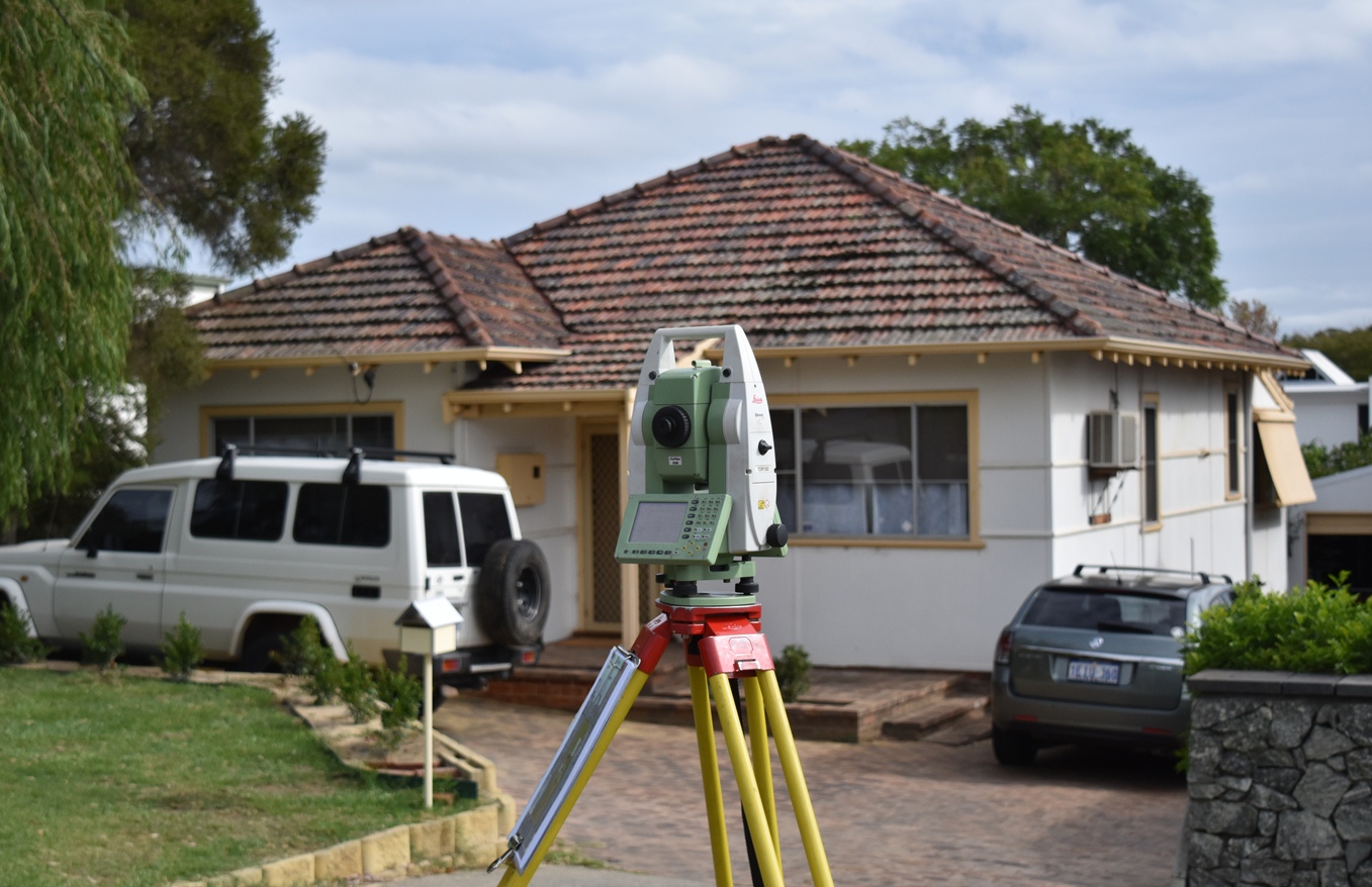
When you partner with our spatial consulting experts, we can build a strong spatial data foundation, which is essential for a successful project or operation. This data helps us make key decisions, improve designs, and identify risks early. We assist with everything from site selection to feasibility studies, ensuring your asset is well-prepared from the start.
We also work with you to create a Spatial Data Management Plan (SDMP), which outlines how your data will be collected, stored, analysed, and shared. This ensures your data stays consistent, accurate, and secure while meeting all industry standards.
We focus on reducing costs and speeding up timelines by finding savings and using resources better. Clear data visuals help make decisions easier. With RM Surveys, you get a reliable, tailored approach that keeps your project on track and successful.
Empowering Decisions with Insight
Discover the full spectrum of RM Surveys’ Consulting expertise with our Capability Book.

Capability Statement
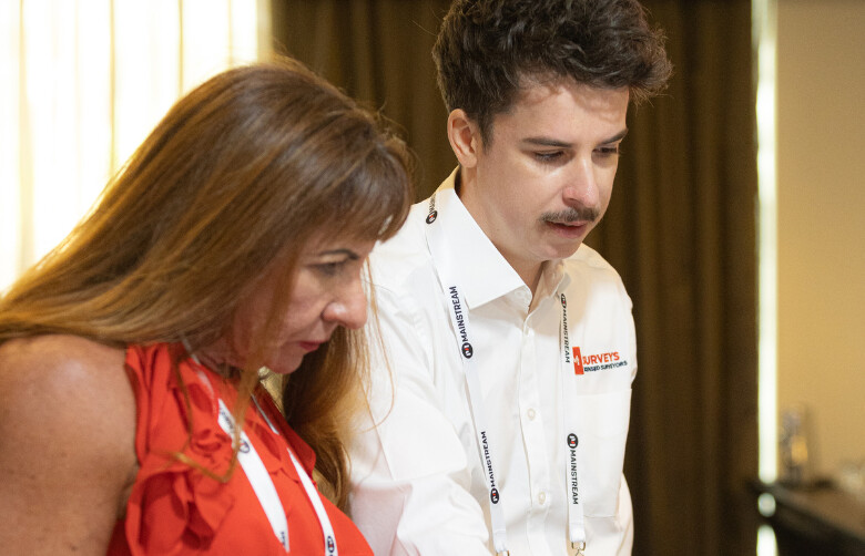
The People Company Of Spatial Experts
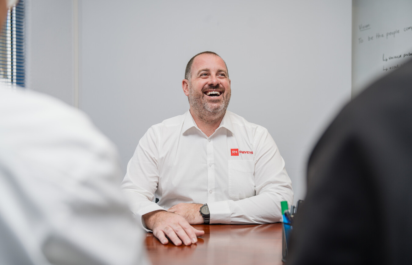
Our team at RM Surveys is driven by a shared vision of delivering precise, reliable, and innovative spatial consulting services.
With a wealth of expertise across various industries, our professionals are equipped with the latest technology and skills to meet your assets unique needs.
Success Stories
Our Impact in Action
Explore our case studies to see how RM Surveys’ consulting services have delivered precise, reliable solutions across diverse projects. From infrastructure developments to complex land assessments, our tailored approach ensures successful outcomes. Learn how our expertise has helped clients navigate challenges and achieve their goals with confidence.
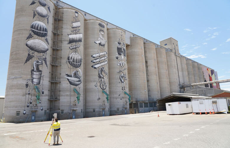
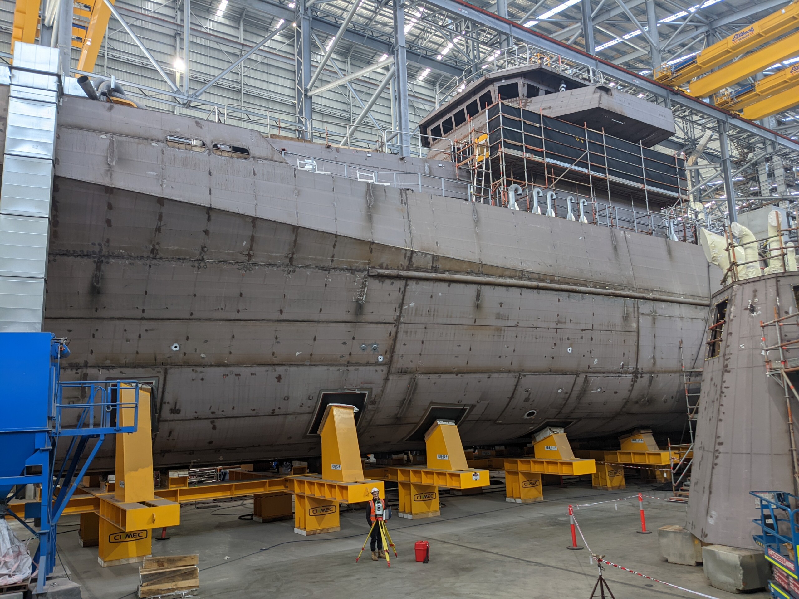
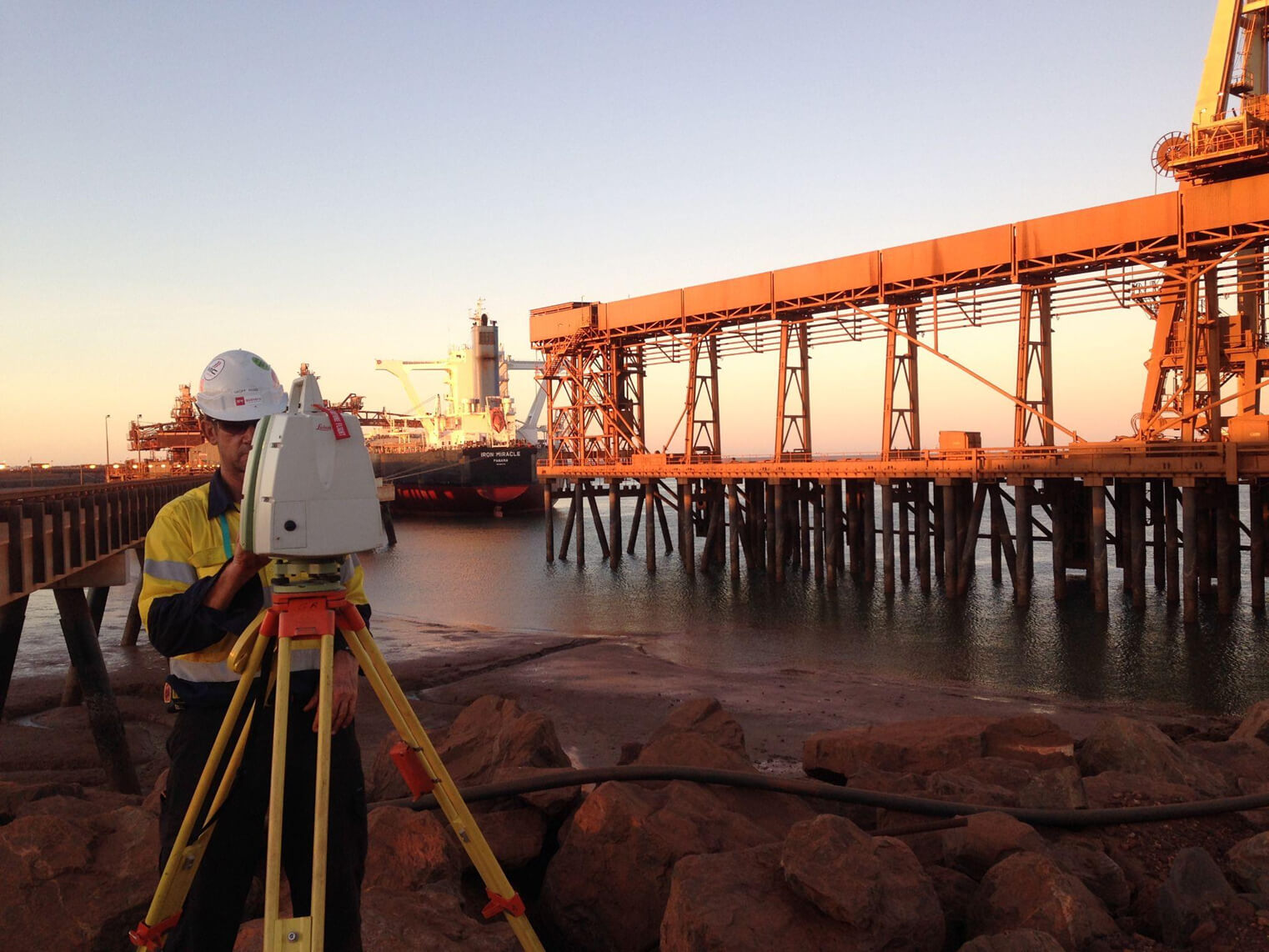
CBH Group Digital Twin Project
CBH Group hired RM Surveys to help with terminal upgrades due to outdated information. Using laser scanners, RM Surveys created a detailed digital model of the terminal. This model was shared online, giving stakeholders easy access to important data for planning and decision-making.
Industry
Sectors
Discover how RM Surveys’ consulting expertise extends across a wide range of sectors. From infrastructure and construction to government and professional services, we provide tailored spatial solutions that meet the unique demands of each industry. Explore the sectors we serve and see how our precision and experience can drive your project’s success.
Frequently Asked Questions
How does RM Surveys ensure accuracy in its consulting services?
We use advanced surveying technology and techniques to gather precise spatial data. Our expert team works meticulously to ensure all spatial data is accurate, reliable, and tailored to your projects requirements, minimising errors and maximising efficiency.
What is Spatial Data Management and why is it important?
A Spatial Data Management Plan (SDMP) outlines the procedures for collecting, storing, analysing, and sharing spatial data throughout a project. It ensures data consistency, accuracy, and security, helping streamline workflows and improve decision-making across all stakeholders involved.
How can RM surveys help reduce project costs and timelines?
Our consulting services focus on identifying cost-saving opportunities, optimising resource allocation, and improving project workflows. By providing accurate spatial data and clear decision-making tools, we help streamline the process, reducing delays and cutting unnecessary expenses.
Can RM Surveys consulting assist with both public and private sector assets?
Yes, we have experience working with both public and private sector clients. Our consulting services are flexible and adaptable to meet the distinct needs of government agencies, developers, contractors, and property owners.