Why locate when you can map and model utilities in 3D?
Reveal The Unseen
Why locate when you can map and model utilities in 3D?
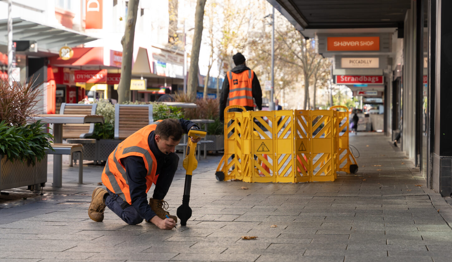
As one of Westerns Australia’s leading survey companies, our surveyors work with our locating team to map and model located utilities in 3D. A 3D model provides clients with the location of underground utilities that is spatially accurate. The 3D model can be integrated with many collaborative workspace platform and used by external consultants. This reduces the need for repeat site visits or additional markings saving time and money across all stages of the project.
As point cloud and BIM specialists, RM Surveys can output the data in Building Information Modelling (BIM), Geographic Information Systems (GIS) and various asset or facility management systems.
We don't locate, we unlock the underneath with spatial accuracy.
- Rhyce Murhpy