Underground Asset Mapping

Reduce risk and map utilities with spatial certainty.
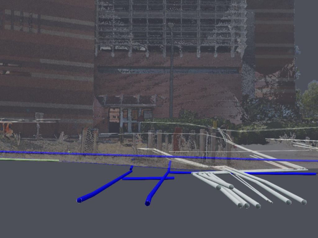
RM Surveys recommends a 3D model of underground utilities for spatial accuracy when making critical decisions around critical assets. Mapping and modelling underground assets always accurately determine their location, even when the ground levels change as the project progresses.

Why locate when you can map and model utilities in 3D?
As one of Westerns Australia’s leading survey companies, our surveyors work with our locating team to map and model located utilities in 3D.

RM Surveys bolsters Underground Asset Mapping capabilities with two new appointments
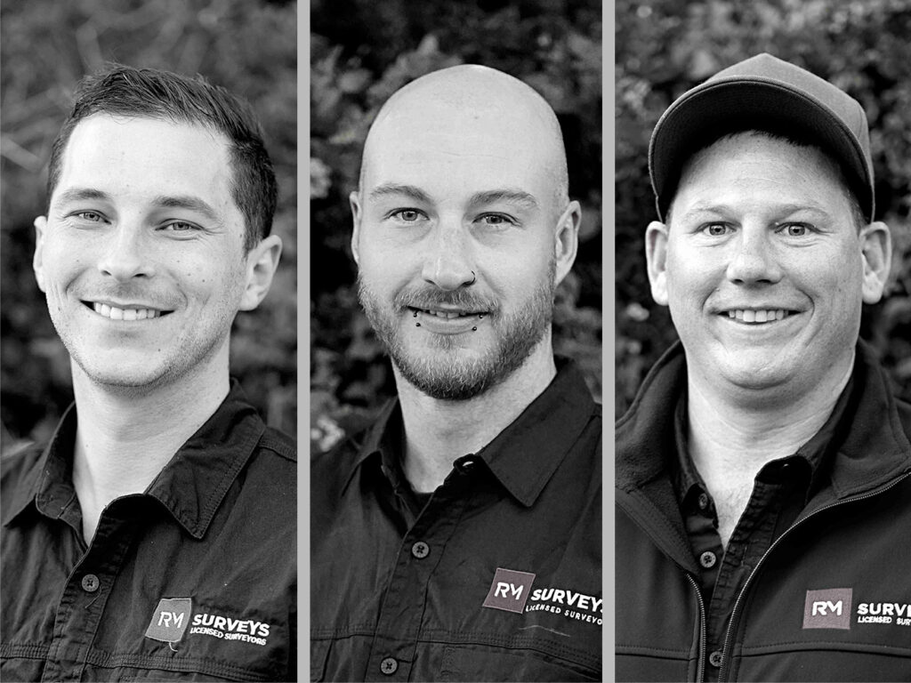
RM Surveys is delighted to announce that Kim MacKeith and Michael Black have joined our Underground Asset Mapping team as Senior Service Locators.

What is a Class A Utility Survey?
The Main Roads Underground Utilities Survey Standard (67-08-121) has been structured to provide several different utility survey accuracy classes (A, B, C and D).

Understanding utility survey classes – Class A, Class B, Class C and Class D
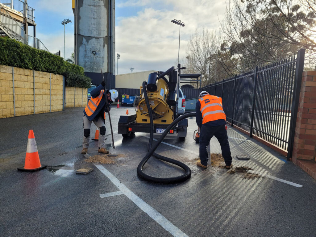
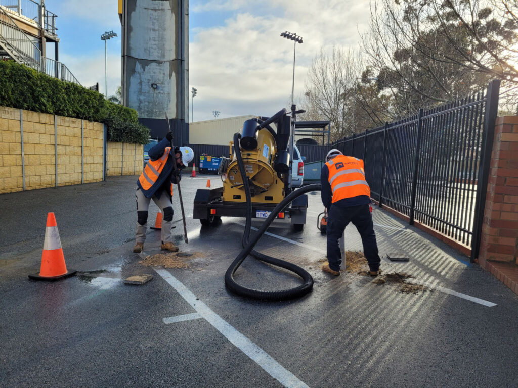
RM Surveys is a certified utility locator, meaning we are qualified to locate underground services for clients across various projects. As utilities are located underground, the most accurate method to determine the true position is to unearth or “pot-hole” it and measure directly to it.

Rhyce Murphy announced as RM Surveys Underground Asset Mapping Coordinator
We are delighted to announce Rhyce Murphy as Underground Asset Mapping Coordinator for RM Surveys.
