
Asset Lifecycle Management
Asset Services
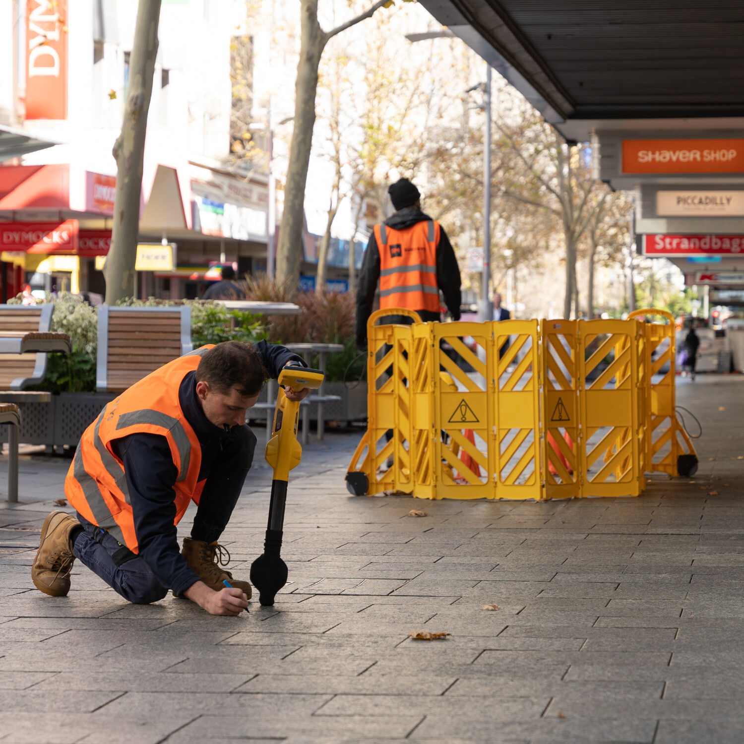
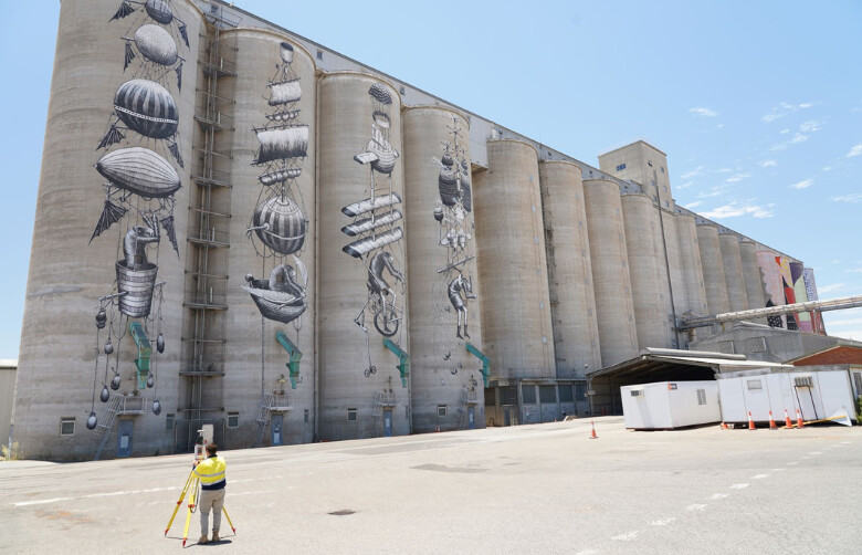
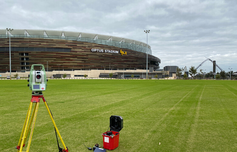
RM Surveys delivers the survey and spatial data that underpins the entire asset lifecycle, from planning and construction through to operation and renewal. Our role is to capture, analyse and deliver precise information that supports asset owners, designers and contractors to plan, build and operate with confidence. We map existing conditions above and below ground, provide detailed dilapidation reporting before works commence, and create high-resolution models and records using laser scanning, photogrammetry and utility mapping. Our monitoring and deformation surveys, as-constructed documentation and other tailored outputs give project teams the reliable, fit-for-purpose data they need to reduce risk, meet compliance and maintain accurate records of the built environment over time.

Strategy
RM Surveys delivers a solid spatial data foundation during the strategy phase of the asset lifecycle. This foundation empowers:
1. Informed decision making
2. Optimised resource allocation
3. Effective risk management
4. Clear stakeholder communication
5. Strategic long-term planning

Feasibility & Planning
During the feasibility and planning phase of the asset lifecycle, RM Surveys provides a comprehensive range of surveying services to establish a robust spatial data foundation. This foundation delivers key benefits, including:
1. Optimised site selection
2. Accurate visual representation
3. Enhanced risk assessment
4. Improved stakeholder engagement
5. Significant cost savings
6. Streamlined regulatory compliance

Design
When you partner with RM Surveys for a spatial data foundation, the precise data we provide enhances the design phase of the asset lifecycle.
This empowers designers with accurate insights, supports collaborative workflows, and enables informed decision-making throughout the process.
1. Precise site analysis
2. Optimised layout and alignment
3. Visual simulation and modelling
4. Seamless collaborative design
5. Streamlined permitting and approvals
6. Proactive risk mitigation

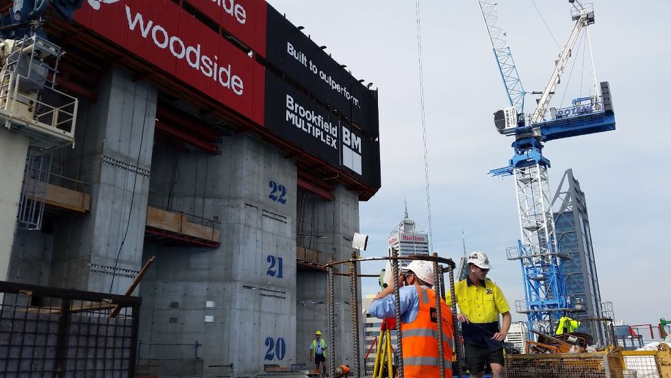
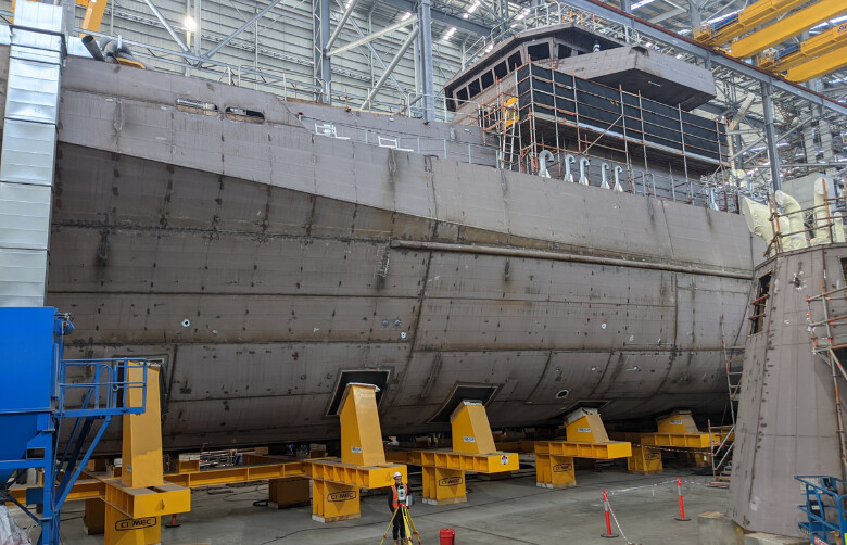
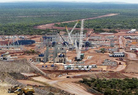
Construction & Fabrication
RM Surveys delivers a solid spatial data foundation along with a comprehensive range of survey services essential for the construction and fabrication stage of the asset lifecycle.
1. Precision planning
2. Optimised construction sequencing
3. Real-time progress tracking
4. Conflict detection and resolution
5. Safety management
6. Resource optimisation
7. Quality assurance

In Use
A robust spatial data foundation enhances the ‘in use’ phase of the asset lifecycle by providing accurate records, monitoring information and clear documentation to support ongoing operations and future works.
1. RM Surveys provides comprehensive spatial data services to enable:
2. Ongoing condition and dilapidation surveys
3. Monitoring and deformation reporting
4. Updated as-constructed and asset records
5. Accurate data for maintenance planning
6. Compliance and regulatory documentation
7. Reliable information for refurbishment or expansion
The People Company Of Spatial Experts

Our team brings together seasoned professionals with deep industry knowledge and technical expertise across every phase of the asset lifecycle.
From land surveyors and GIS specialists to data analysts and project managers, each member of our team is committed to delivering precise, actionable insights that drive smarter decisions and better outcomes.
We work collaboratively with our clients, combining cutting-edge technology with personalised service to ensure your assets are documented and supported with precise data, efficiency, and forward-thinking solutions.

Industry
Sectors
Explore how RM Surveys’ asset surveying services support a wide range of asset lifecycle projects.
From initial planning and construction to ongoing operations and future expansions, our precise surveys deliver accurate data for informed decision-making.
Discover how our expertise in asset lifecycle management can enhance your project’s success and optimise the performance of your physical assets.
Frequently Asked Questions
What is a dilapidation survey and why is it important?
A dilapidation survey documents the existing condition of structures and assets before works commence. It provides an accurate baseline to protect all parties in the event of damage claims or disputes.
How does utility mapping reduce project risk?
Underground utility mapping identifies the location of services before excavation or construction, helping avoid costly clashes, delays and safety incidents.
How often should asset surveys be conducted?
Asset surveys should be conducted periodically, depending on the type of asset and its usage. For example, high-traffic areas may require more frequent inspections.
How can laser scanning support asset documentation?
Laser scanning captures highly detailed, accurate 3D models of existing structures. These models provide a reliable digital record for operations, refurbishments and future planning.
What kind of asset records can RM Surveys provide?
We deliver as-constructed documentation, condition data and spatial records that give asset owners and project teams the confidence of up-to-date, accurate information throughout the lifecycle of an asset.