High-Resolution LiDAR Survey for Merredin BESS
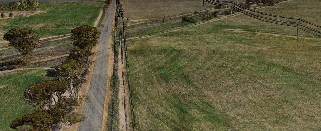
RM Surveys recently delivered a high-resolution aerial LiDAR survey across approximately 112 hectares at the Merredin Battery Energy Storage System (BESS) site, supporting a detailed flood management study.
Our ability to rapidly mobilise and deploy aerial LiDAR technology enabled us to capture the expansive area with exceptional accuracy and efficiency, something that would have been impractical using traditional ground-based methods. Although the survey was initially commissioned by a single consultant, the high-quality dataset has since proven invaluable to a broader group of stakeholders, including engineers, planners, and environmental consultants.
The data continues to support critical decision-making across multiple disciplines, demonstrating the long-term value of precise, timely geospatial insights.