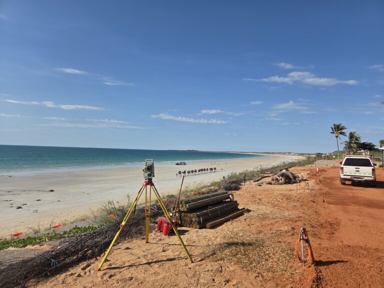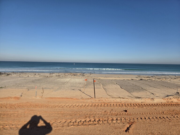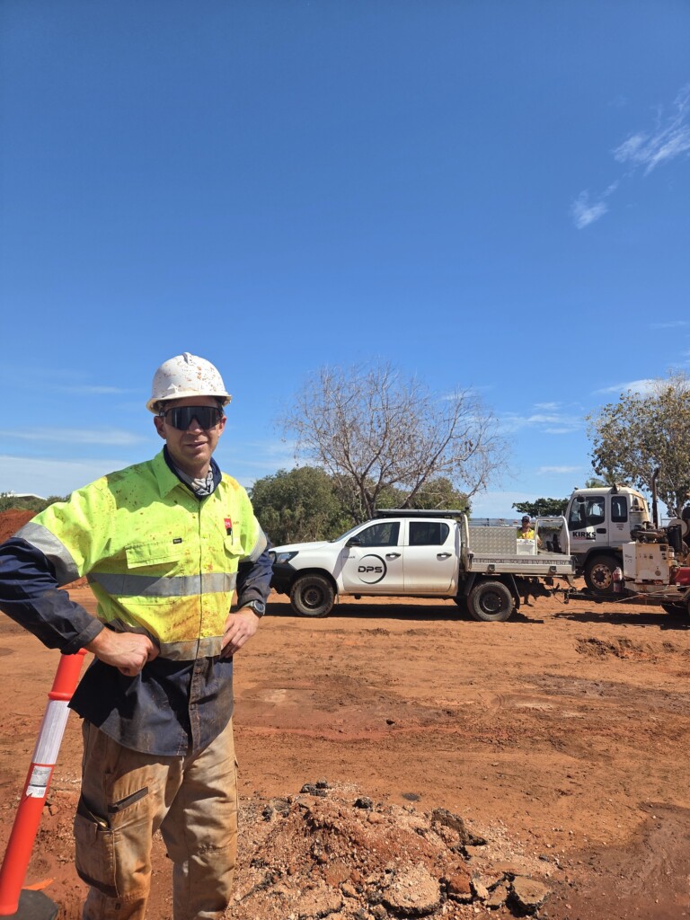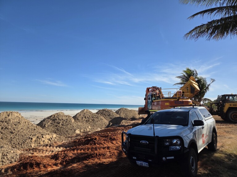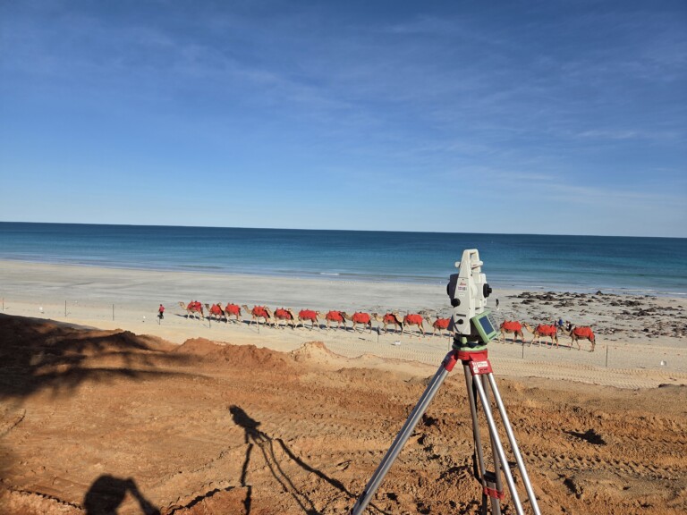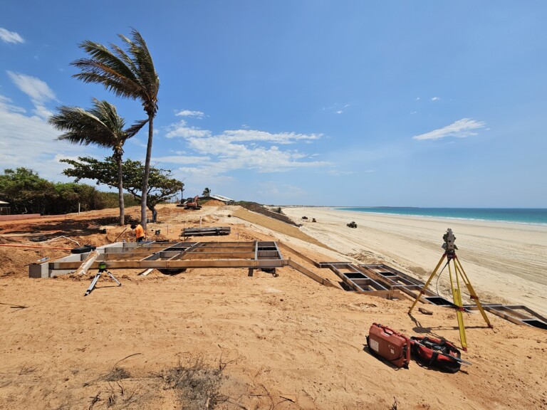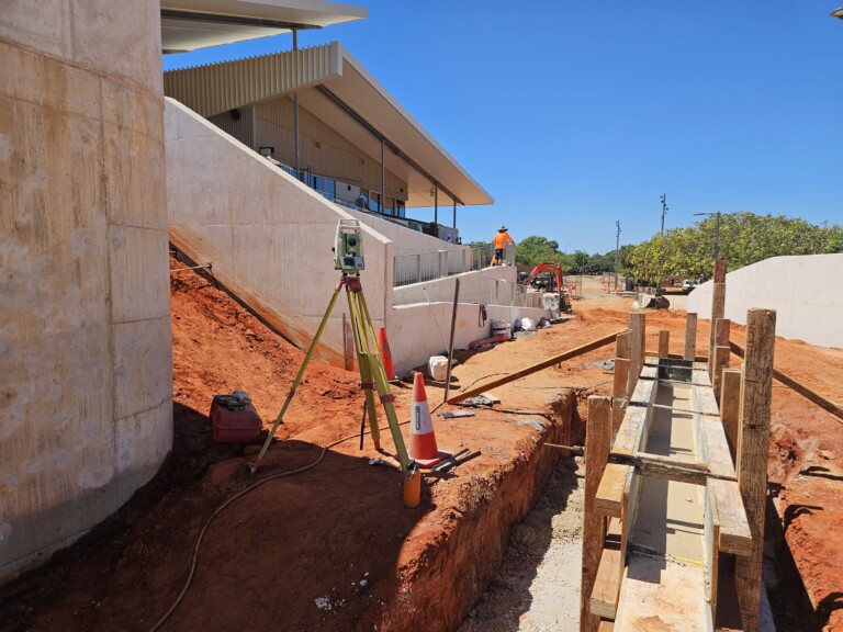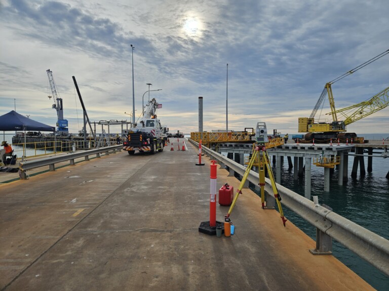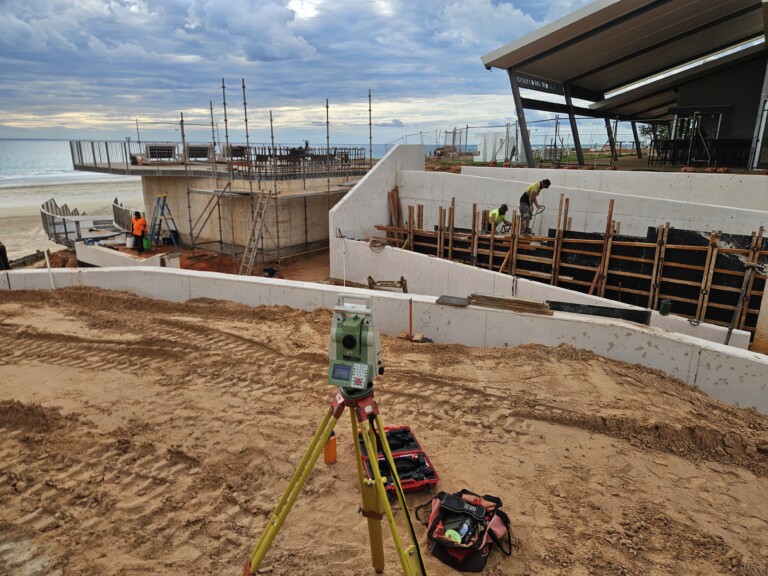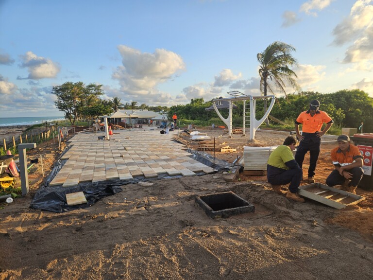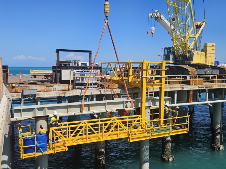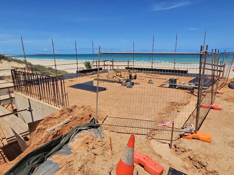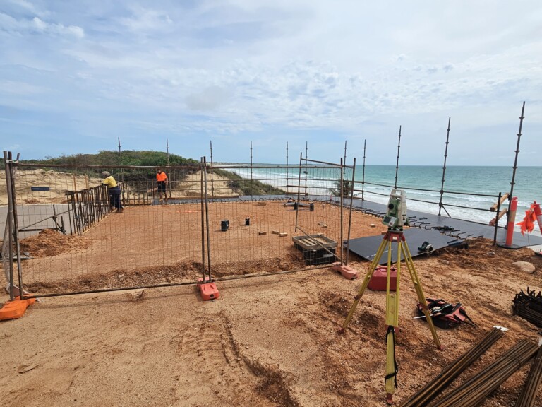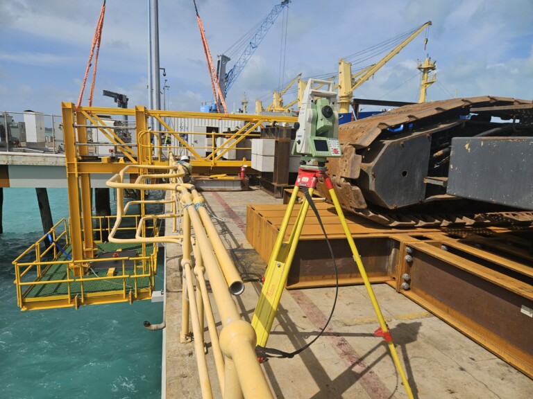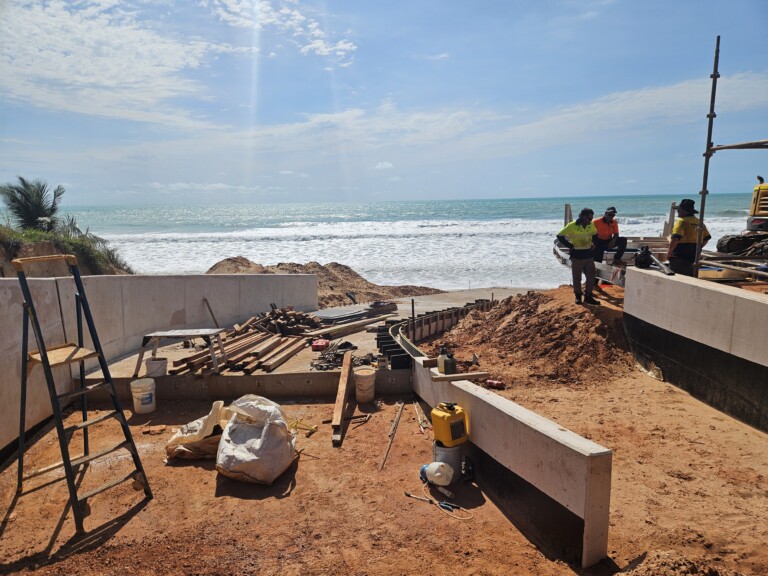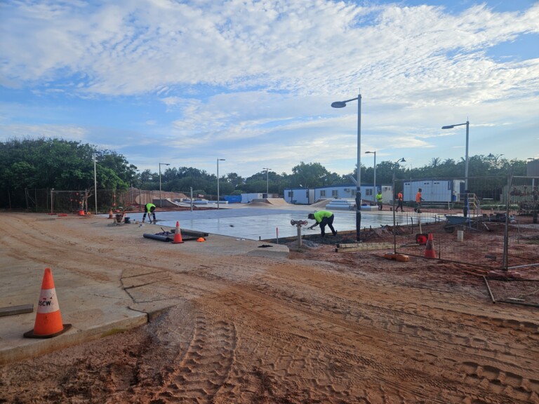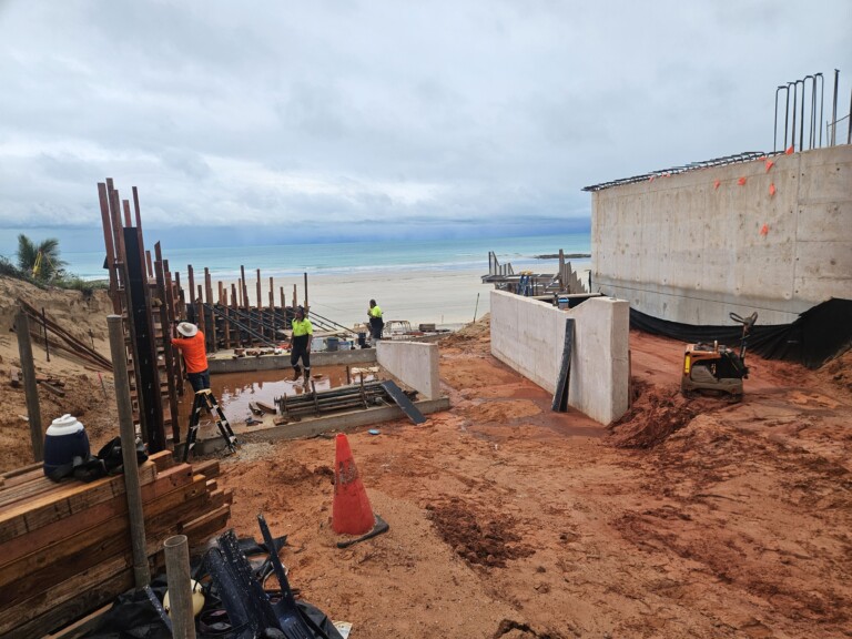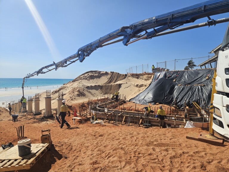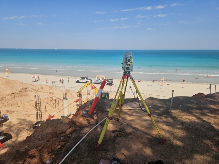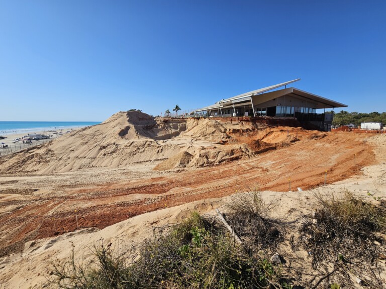

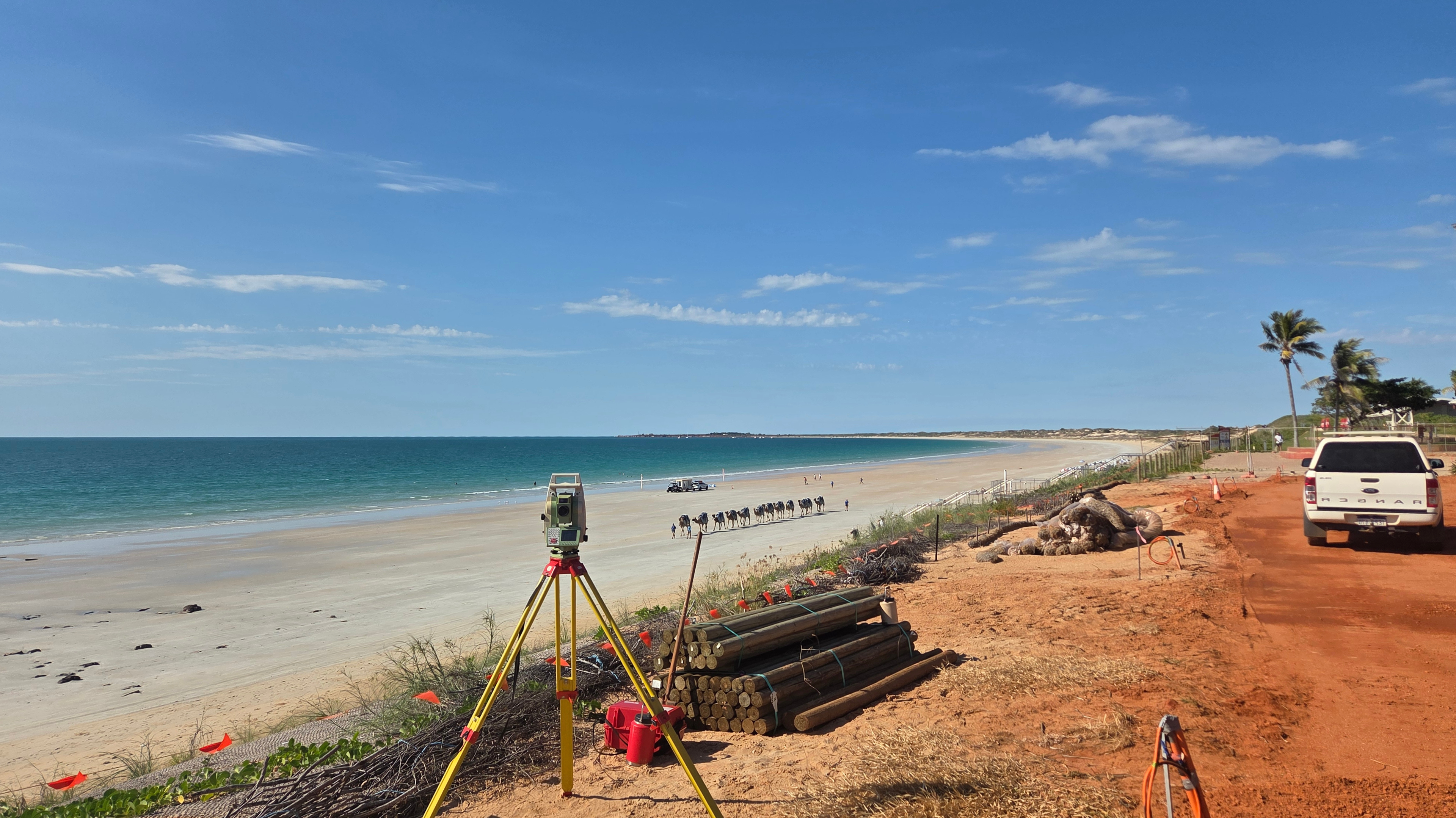
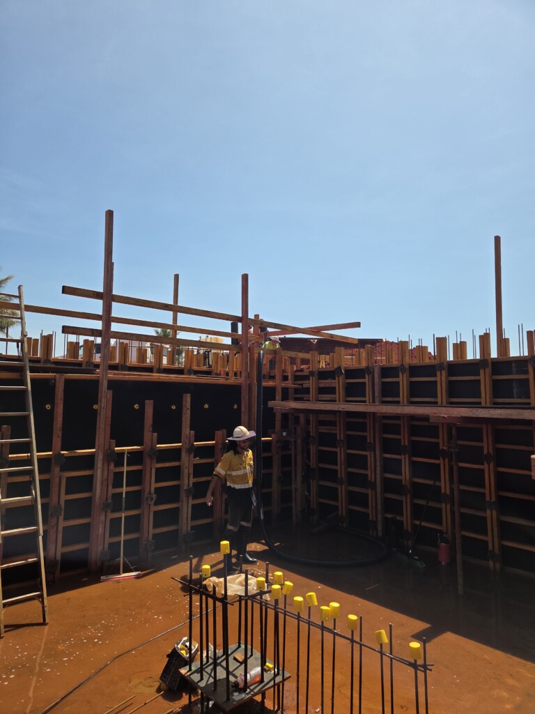
RM Surveys delivered a coordinated package of construction surveying, utility mapping, 3D modelling and aerial data to support construction, verification and project handover across the Walmanyjun Cable Beach Foreshore Redevelopment.
Deliverables included:
- Construction set-out for site structures, roads, coastal works and other construction elements
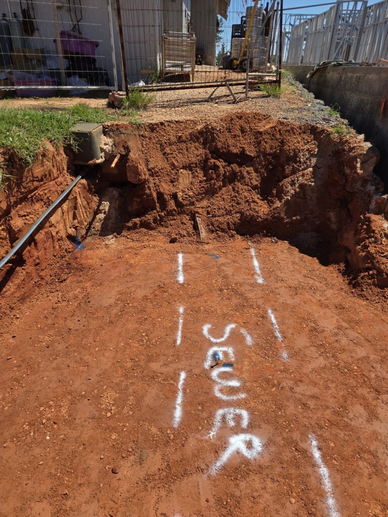
- Non-destructive exposure and survey capture of live underground services
- Three-dimensional as-built records of newly installed services across the project area
- Coordinated 3D models combining existing and proposed information to support spatial review and clash identification
- Machine-control information supporting construction of the sand dune
- Repeat aerial photography and video documenting progress across the site
- Calculations, processed survey data, as-builts and final records supporting compliance and handover
All information was delivered in practical formats that could be used for construction coordination, progress reporting, compliance and future asset reference.