Drone Land Surveying: How New Technology is Reshaping Spatial Data
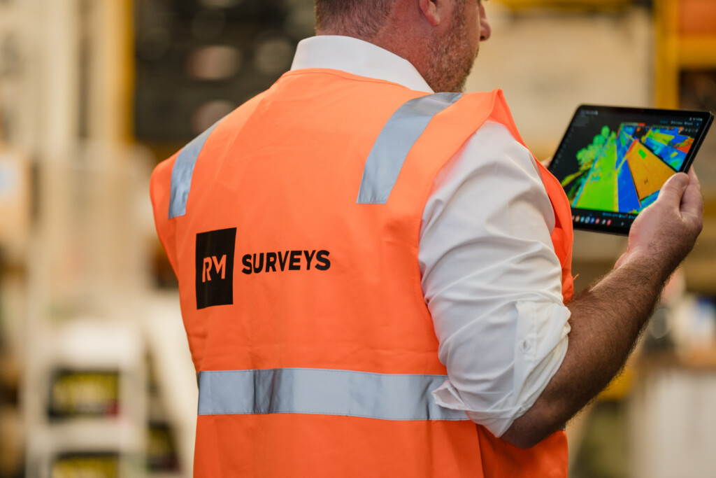
At RM Surveys we combine cutting‑edge equipment with decades of experience to deliver spatial data that gives our clients the bigger picture. With 30 years of experience operating across Western Australia, our people lead the way in applying new technology to solve complex surveying challenges. In this article, we will explore how unmanned aircraft, photogrammetry and LiDAR combine to deliver survey‑grade outcomes, and why the right expertise matters.
What is drone land surveying?
Drone land surveying is the practice of using unmanned aerial vehicles (UAVs) equipped with high‑resolution cameras or laser scanners to collect spatial data from above. Modern drones combine high‑resolution cameras or light detection and ranging (LiDAR) sensors with precise positioning systems. LiDAR sensors can penetrate vegetation to build accurate 3D models of the ground, while photogrammetry software stitches overlapping images into detailed surface models. Both data types integrate with ground control to produce maps, orthophotos and digital elevation models ready for design or construction.
How does it work?
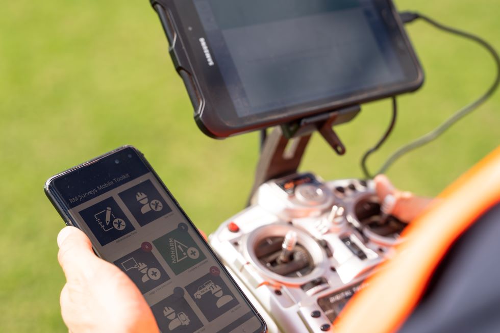
Planning and site preparation – Every survey begins with a clear brief: defining the required spatial resolution, extent and deliverables. We select an appropriate drone platform, whether multi-rotor or fixed‑wing, and plan flight paths that meet Civil Aviation Safety Authority (CASA) regulations and site safety.
Data collection – Precision on the ground remains essential. Our surveyors establish survey control and place ground control points (GCPs) to tie the aerial model to a coordinate system. Flights are then conducted to capture overlapping imagery or LiDAR passes, with altitude and camera settings tailored to the project.
(Geo)spatial processing – After capture, imagery and LiDAR datasets are processed using specialist software. Photogrammetry workflows align and triangulate hundreds of images, while LiDAR point clouds are classified into ground, vegetation or infrastructure points. Modern software and well‑measured ground control points enable us to deliver centimetre‑level accuracy in both photogrammetry and LiDAR outputs. Our team undertakes rigorous QA/QC to verify that outputs meet project specifications.
Deliverables and integration – Final deliverables include ortho‑rectified mosaics, 3D terrain models and dense point clouds that are georeferenced to MGA2020 or local grid systems. These files integrate seamlessly with engineering, architectural, BIM and GIS workflows. By combining UAV data with traditional ground surveys, we provide reliable “survey‑grade” products rather than hobbyist models.
Why use drone land surveying?
LiDAR capabilities and feature extraction
LiDAR sensors mounted on drones produce dense point clouds that capture fine detail. Each pulse return forms a point; classification algorithms separate ground, vegetation and structures. This capability is invaluable for sites with dense vegetation or narrow features. Our Geospatial & Digital team hosts LiDAR data in Pointerra3D, a cloud platform that processes and visualises large 3D datasets. This enables feature extraction, change detection and asset management within a single source of truth across design, construction and operations.
Greater efficiency and safety
Traditional methods often require crews to traverse difficult terrain, leading to long mobilisation times and safety risks. UAVs reduce time on site and capture data from previously inaccessible viewpoints. The ability to capture imagery from above provides context and reveals why certain areas may be inaccessible. On regional projects, we routinely capture large areas in a single morning, whereas a terrestrial survey might take days. Less time on site means reduced labour costs and improved safety for our people and clients.
Accurate 3D modelling through photogrammetry
Photogrammetry converts overlapping images into measurable data. The precision of a photogrammetric survey depends on image resolution and the quality of survey control. When combined with well‑measured ground control points, drone imagery can achieve centimetre‑level accuracy. We use survey‑grade GPS and robust control networks to ensure outputs meet project tolerances. Typical deliverables include:
- Earthworks and cut–fill volume calculations
- Design overlays for infrastructure projects
- As‑built verification against design models
- Visual progress updates for stakeholders
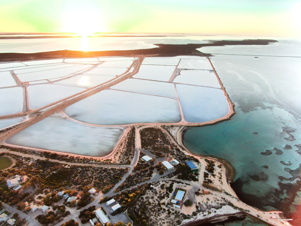
Cost savings for large and remote sites
Industrial‑grade UAV platforms deliver economic benefits for large or remote areas because they combine long flight endurance and the ability to carry advanced sensors. These systems minimise the number of flights required and reduce manpower. In the Pilbara and Wheatbelt we regularly mobilise UAVs to remote sites, capturing data efficiently without exposing surveyors to hazardous conditions. By using this method of capture, we can minimise the need to return to site if scopes change. Not to mention less requirement for other consultants to visit remote sites for their decision making.
Key industry applications
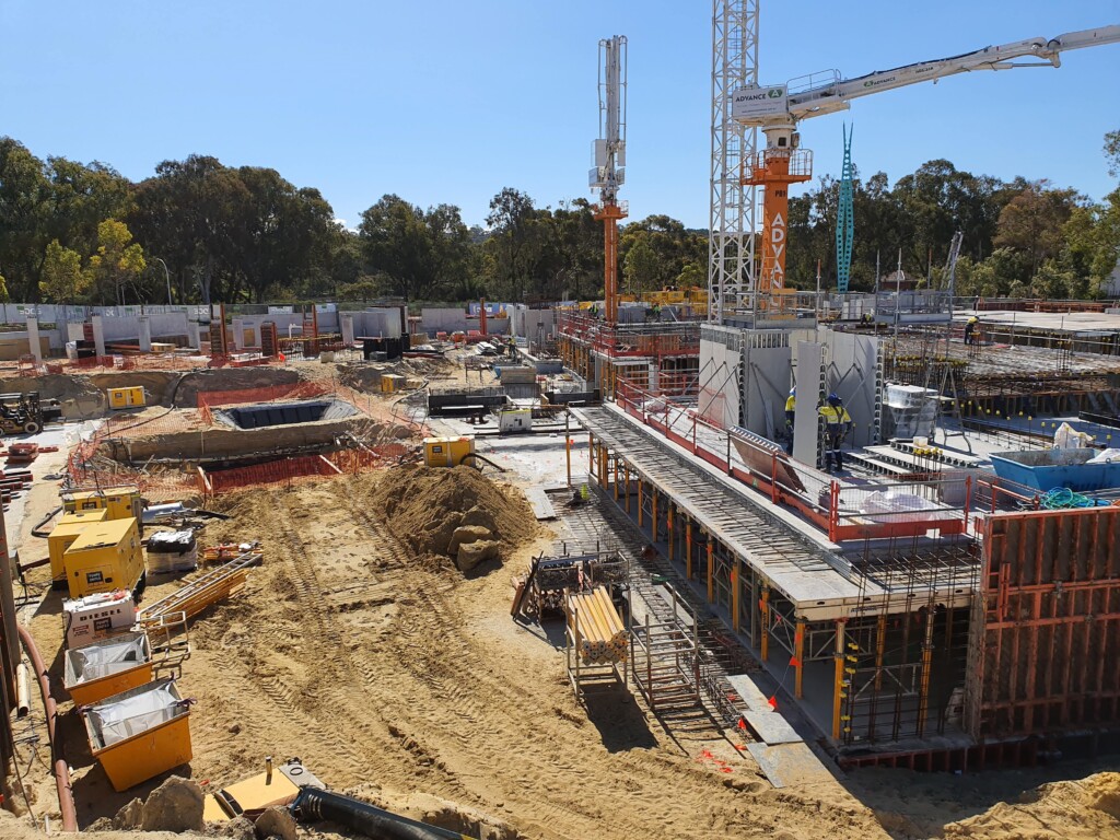
Construction and civil infrastructure
Accurate terrain data supports every stage of a project. During design, 3D models and orthophotos validate earthworks, drainage and grading. Throughout construction we use UAVs to monitor progress, measure stockpile volumes and compare actual works against designs. By providing regular updates, we help contractors avoid rework and stay aligned with the schedule and compliance targets.
Mining and resources
Drone land surveying has become indispensable in mining. High‑density point clouds allow rapid mapping of open pits, waste dumps and haul roads. Because LiDAR can see through light dust, rain, and vegetation, it is ideal for modelling narrow features and slopes. Our data supports environmental monitoring, volumetric calculations and rehabilitation planning.
Land development and planning
Property developers rely on drone land surveying to assess topography, identify constraints and visualise proposed developments. We deliver high‑resolution orthophotos, digital elevation models and textured 3D meshes that integrate with GIS and BIM systems. Visual outputs such as fly‑throughs and digital twins support planning submissions and investor communications, accelerating approvals and enhancing stakeholder engagement.
Integrating compliance and accuracy
High-end equipment alone does not guarantee accurate outputs. At RM Surveys, we combine drone capture with rigorous ground control and the expertise of qualified surveyors to achieve Survey Grade standards.
Relative accuracy ensures that measurements within the dataset are internally correct — for example, a 1-metre object is represented as 1 metre in the model. Absolute accuracy goes a step further, ensuring that these measurements are correctly positioned on the Earth or project site. To achieve this, we use precisely measured Ground Control Points (GCPs) and robust georeferencing methods that maintain internal accuracy while anchoring the dataset to real-world coordinates.
Our operations are conducted under RM Surveys’ Remote Operator’s Certificate (ReOC) and by CASA-licensed UAV pilots who are also professional surveyors. All data is processed and delivered in accordance with Australian surveying standards, the Surveying and Spatial Information Act 2022, and project specifications. We prioritise alignment with deliverables so the information you receive is defensible, reliable, and ready for immediate use.
Photogrammetry as a specialisation
Photogrammetry remains a core part of our Geospatial & Digital services. By capturing hundreds of overlapping images and processing them with specialised software, we build precise 3D models suitable for BIM and GIS environments. High‑quality outputs require careful planning, consistent image overlap and thorough quality control. These models are particularly valuable when:
- Documenting existing structures for redevelopment or heritage preservation
- Modeling facades and complex geometries with fine texture detail
- Capturing inaccessible features, such as cliff faces or tall facades, with minimal disruption
Why RM Surveys?
Drone land surveying is only part of the solution. To extract true value, you need the right equipment operated by experienced professionals. At RM Surveys our people combine technical expertise, project insight and clear communication. We deploy advanced UAV platforms with both LiDAR and photogrammetry sensors, pairing them with high‑precision ground control and robust data processing workflows. Our process covers everything from flight planning and CASA compliance to data processing, visualisation and integration with your existing systems. With a strong presence in Western Australia and the capability to mobilise nationally, we bring precision and insight to every project.
 Ready to elevate your project?
Drone land surveying offers faster data collection, improved safety and richer insights across a wide range of applications. When paired with the experience and capability of RM Surveys, it becomes a powerful driver of project success. Contact us today to discuss how our drone surveying and Geospatial & Digital services, enhanced by platforms like Pointerra3D, can support your next project with the precision and insight it deserves.