
News

Why Automatic Deformation Monitoring Systems Are Becoming Essential
")
Why Topographic Survey Data Still Underpins Every Successful Project

A-Spec Solutions for Local Government Asset Management
Across Australia, local governments are rapidly evolving how they manage public assets. Static as-constructed drawings are no longer sufficient; councils are increasingly adopting GIS-based asset management systems that allow them to track infrastructure, services, and public amenities over time, with accurate spatial and attribute data forming the foundation of decision-making.

Drone Land Surveying: How New Technology is Reshaping Spatial Data
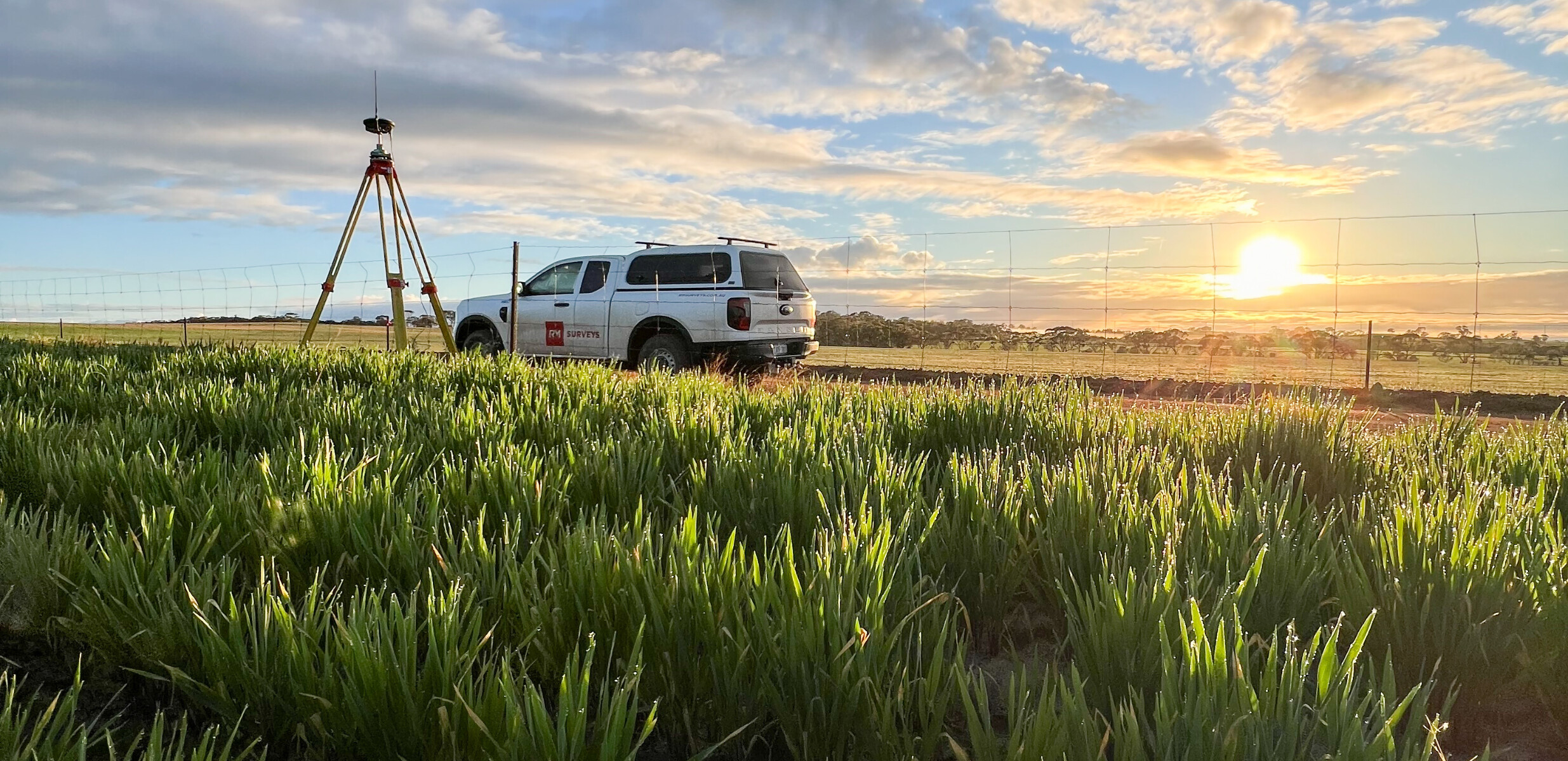
At RM Surveys we combine cutting‑edge equipment with decades of experience to deliver spatial data that gives our clients the bigger picture.

What Are Geospatial Services? A Guide to Mapping, Insight, and Spatial Intelligence
Geospatial services help us understand the world in smarter ways — from where things are to how they’re changing over time. By gathering and applying spatial data, these services empower better decisions across land, infrastructure, and environmental assets.

What Is a Site Survey and Why Is It Essential for Your Project?
If you’re managing a large-scale construction project, planning a new development, or upgrading critical infrastructure, ensuring that every stage of your project runs smoothly is key.

RM Surveys digital representation of CBH Avon Facility
The RM Surveys Geospatial and Digital team recently captured CBH Group’s Avon Valley Transfer Facility for the purpose of design and planning works.

In slab risk mitigation: A case for 3D Laser Scanning in Commercial Construction
The construction industry is on the cusp of a digital revolution that will enable intelligent decisions driven by digital data.