How Does Land Surveying Work? The Process Explained Step by Step
At RM Surveys, we understand that every successful project starts with spatial clarity. From defining legal boundaries to supporting design, construction, and compliance, land surveying gives you the confidence to plan and build with certainty.
We combine innovative technology with the precision and foresight of our people to deliver spatial data that’s accurate, timely, and aligned with your objectives. As your strategic spatial partner, our service is responsive, people-focused, and grounded in trust.
So how does land surveying work in practice? Here’s how our expert people guide you through each stage of the process.
Why do you need a land survey
Before diving into the process, it’s important to understand the critical role land surveys play in your project’s success. With land prices in WA steadily rising, it’s essential to ensure your asset or investment is properly protected.
If you’re building new infrastructure, subdividing land, or managing an existing asset, a land survey provides the accurate, legally verified data you need to make confident decisions and avoid costly missteps.
Some common reasons to engage a land surveyor include:
- Defining legal property boundaries – Eliminate uncertainty and avoid disputes with a clear, legally accurate understanding of your land.
- Supporting development approvals – Regulatory bodies and councils require survey data for subdivision, rezoning, or building applications.
- Site planning and design – Architects, engineers, and builders rely on accurate spatial data to design within real-world site constraints.
- Mitigating risks – Identify encroachments, easements or planning restrictions early before they disrupt your schedule or budget.
- Achieving compliance – From set-out to as-built certification, surveys support approvals, inspections and final sign-off.
At RM Surveys, we believe a land survey is more than a task to tick off. It is a foundational step that supports performance across the entire asset lifecycle. Our people deliver data that informs decisions from initial feasibility through to project handover and ongoing operations.
We also tailor our approach to suit different industries. In mining, volumetric surveys and pit monitoring enhance safety and precision. In urban development, cadastral mapping and zoning overlays keep projects aligned with regulations. For infrastructure, precision set-outs and deformation monitoring ensure the built environment reflects design intent.

How does land surveying work? Let’s walk through the process
Step 1: Understanding your project
The first step is discovery and alignment. We take time to understand your objectives, risks, and vision so we can align our services accordingly.
What we do in this step:
- Define project scope and milestones
- Identify regulatory or compliance requirements
- Understand intended land use (residential, commercial, infrastructure)
Clear alignment helps us deploy the right expertise, select the appropriate technology, and ensure surveys are timed for maximum project efficiency.
Step 2: Creating a base boundary plan
Next, we conduct research to clarify land ownership and spatial constraints. A strong boundary plan sets the foundation for accurate planning and compliance.
What we do in this step:
- Perform title searches and verify ownership
- Review historical cadastral data
- Prepare a base map for planning and design
Our people understand WA’s land system and regulatory landscape, ensuring projects are compliant with Landgate and local requirements from the outset.
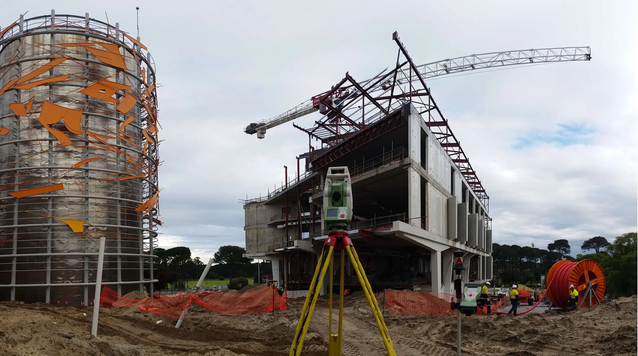
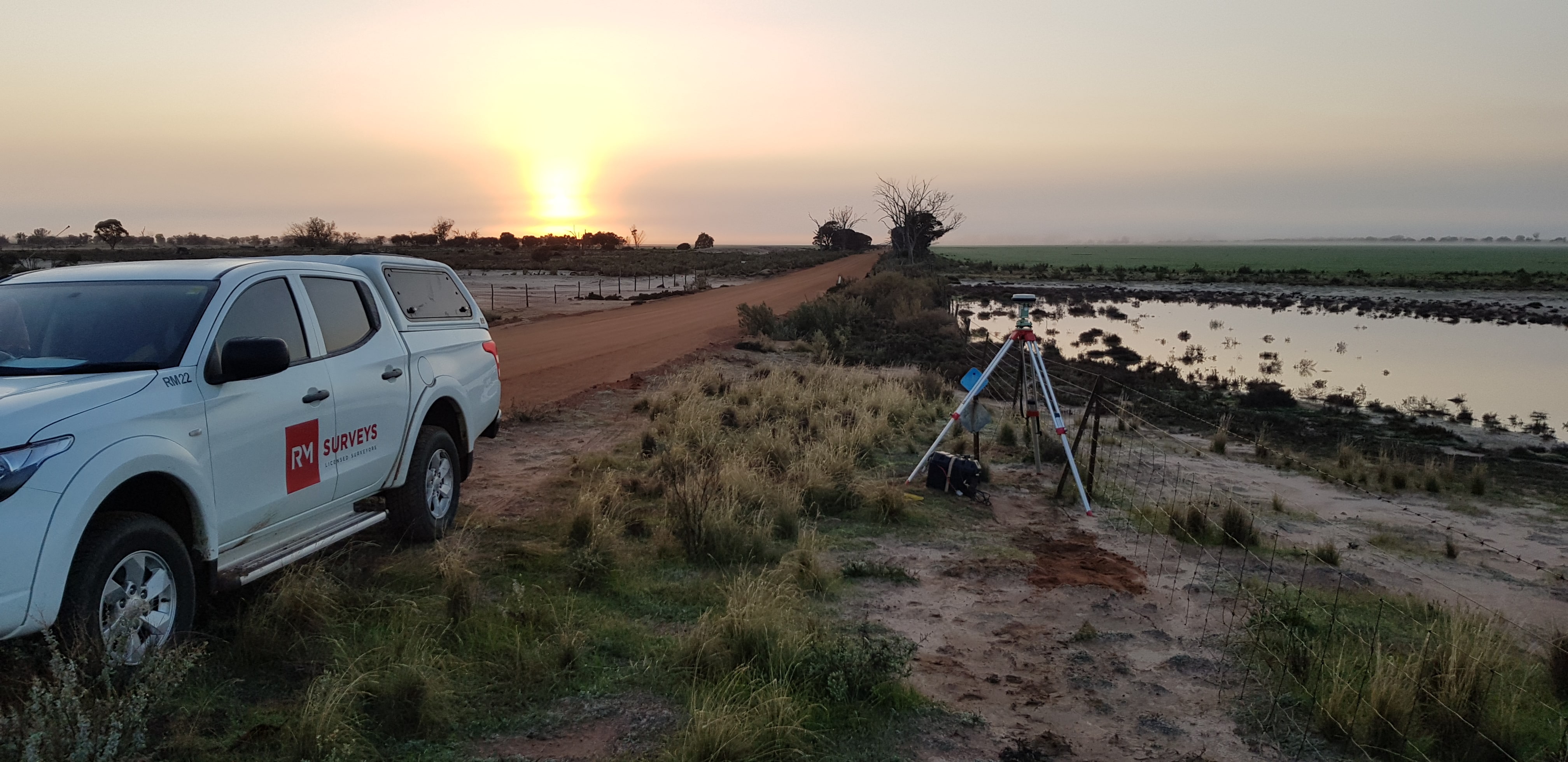
Step 3: Field surveying & data collection
Now, we bring boots and brains to the ground. Our people mobilise to capture high-precision data, using advanced tools tailored to your project’s needs.
What we do in this step:
- Carry out boundary and topographic surveys
- Map natural and built features
- Capture spatial data to support design, compliance, and planning
- Identify any hurdle that may cause the project to stall
Modern surveying tools:
To ensure accuracy and efficiency, our team uses a combination of modern surveying technologies that are selected based on the site environment, project scale, and required outcomes. These tools include:
- UAVs (Drones): For high-res aerial imagery and fast 3D mapping of terrain or stockpiles
- GNSS (GPS): For centimetre-accurate positioning across large or remote sites
- 3D Laser Scanning (LiDAR): For detailed digital replicas of structures and terrain
- Photogrammetry: For accurate 3D models from drone imagery
- Remote Monitoring: For detecting millimetre shifts in high-risk or long-term sites
Step 4: Modelling existing site conditions
We convert raw data into detailed, usable outputs that support planning, design, and risk management.
What we do in this step:
- Build digital terrain models and contours
- Identify utilities, structures, and constraints
- Generate site data for architectural and engineering teams
Accurate models help you uncover design constraints, reduce the risk of rework, and keep your project moving with confidence.
Step 5: Resolving boundary issues
We identify and resolve any discrepancies or encroachments before they become legal or construction challenges.
What we do in this step:
- Re-establish property boundaries with cadastral precision
- Detect encroachments from neighbouring sites
- Provide legal documentation to support dispute resolution
Early clarity protects your investment, reduces risk, and supports faster decision-making.
Step 6: Gathering additional site information
Every site has unique requirements. We dig deeper to uncover details that impact planning, design, and construction.
What we do in this step:
- Locate underground utilities using Class A/B methods
- Identify zoning overlays, heritage constraints, and environmental factors
- Check for easements and access limitations
Understanding what’s above and below the surface allows for smarter, safer planning. Comprehensive site knowledge reduces the likelihood of costly surprises during construction.
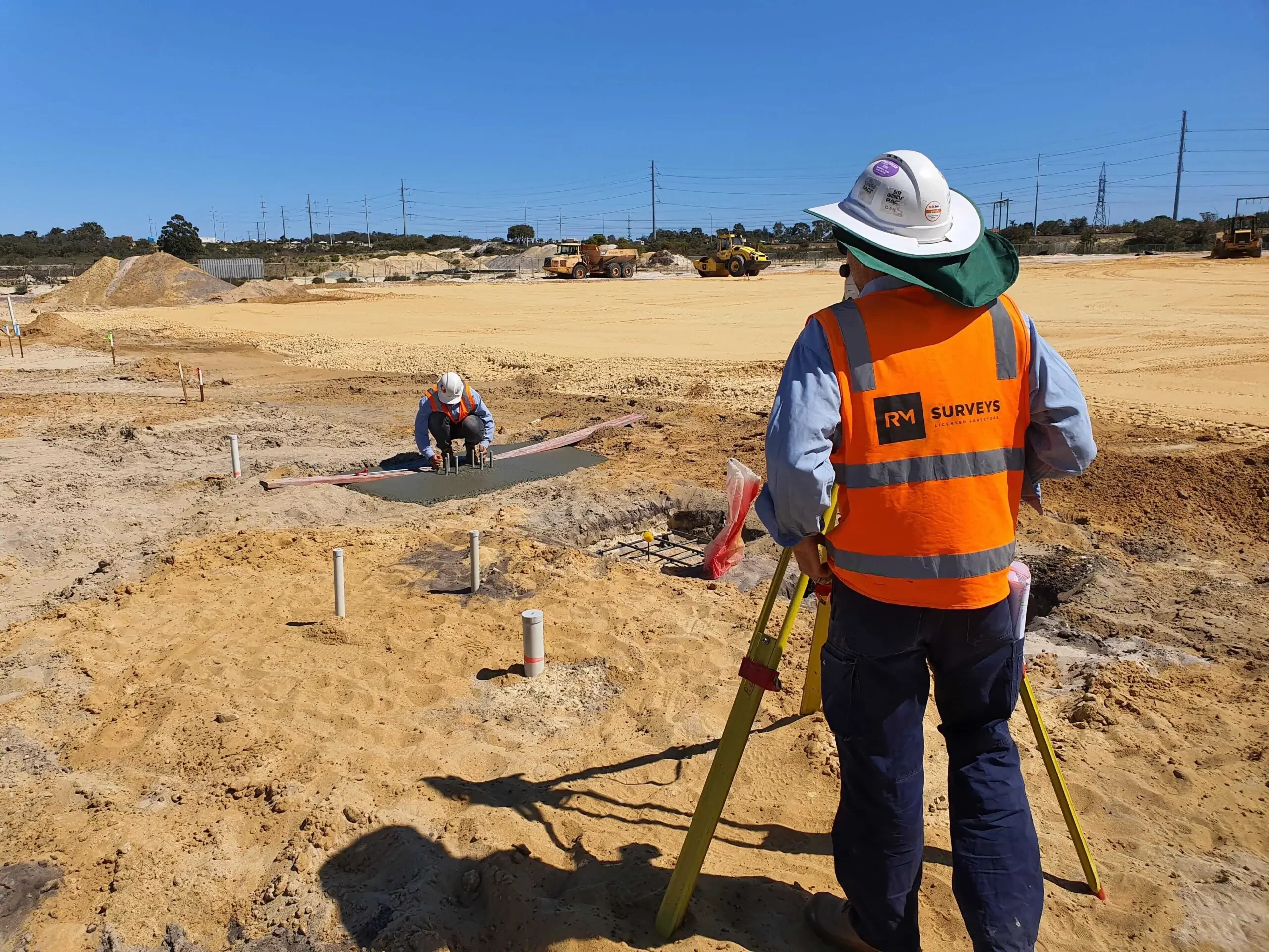
Step 7: Construction set-out survey
This is where your approved design becomes physical reality. Our surveyors mark out exact reference points that guide builders on site.
What we do in this step:
- Set out building corners, roads, retaining walls, and structural elements
- Provide horizontal and vertical reference for earthworks and foundations
- Collaborate with builders and engineers to ensure accuracy
Precise set-outs keep your project on-spec and on schedule. Accurate spatial referencing prevents construction errors and minimises rework.
Step 8: As-built survey
As your project wraps up, we record the final built conditions and provide documentation for certification, handover, or future upgrades.
What we do in this step:
- Survey the position of constructed elements and services
- Deliver as-built drawings and digital plans
- Provide data for occupancy certification, asset records, or future development
As-built surveys close the loop on your project, supporting certification and providing a valuable reference for ongoing operations.
End-to-End Surveying for the Koolan Island Airstrip
RM Surveys were engaged by CMC, on behalf of Mount Gibson Iron, to provide full surveying services for the construction of a new 2.1 km airstrip on Koolan Island, designed to accommodate direct fly-in fly-out workforce flights from Perth. The project followed the complete land surveying process: beginning with site understanding and control establishment, followed by the set-out of earthworks and precise layout of each airstrip pavement layer. Our people also managed and verified machine guidance systems on dozers and completed as-constructed surveys of underground power services. Despite the site’s remoteness, our integrated approach ensured accuracy, compliance, and a smooth delivery from planning through to completion.
Why Choose RM Surveys?
At RM Surveys, we believe how we work matters just as much as what we deliver. Our approach is built on care, responsiveness, and a genuine commitment to adding value throughout your project. We provide more than spatial data. Our people help you interpret it, apply it, and move forward with clarity and confidence at every stage.
With RM Surveys, you get:
- Proven expertise across Cadastral, Engineering and Construction Surveying
- Access to advanced tools including UAVs, 3D laser scanning and remote monitoring
- Responsive, human service from people who listen and act quickly
- Full compliance with Landgate, local councils and regulatory requirements
- Thorough assessment and feasibility analysis to help you determine project viability
- Practical insight into project serviceability — a core strength of our team
 Let’s move your project forward with confidence
From boundary verification to final as-built documentation, RM Surveys delivers the spatial data you need to move forward with confidence.
Speak with our people today and discover what a true spatial partner can bring to your next project.