
News

A-Spec Solutions for Local Government Asset Management
Across Australia, local governments are rapidly evolving how they manage public assets. Static as-constructed drawings are no longer sufficient; councils are increasingly adopting GIS-based asset management systems that allow them to track infrastructure, services, and public amenities over time, with accurate spatial and attribute data forming the foundation of decision-making.

How Long Does a Site Survey Take?
If you’re planning a construction project, buying land, or preparing to develop a site, one of the first practical questions you’re likely to ask is: how long does a site survey take?
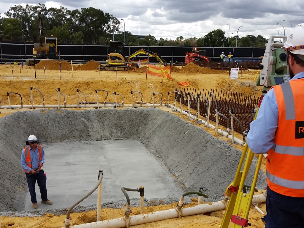
How Does Land Surveying Work? The Process Explained Step by Step
At RM Surveys, we understand that every successful project starts with spatial clarity. From defining legal boundaries to supporting design, construction, and compliance, land surveying gives you the confidence to plan and build with certainty.

3D Laser Scanning: An Architect’s solution to 3D modeling.
How are you doing your asbuilt measurements? If you’re like most Architects, you’re probably frequently onsite hand measuring and cursing all the unsafe and hard…

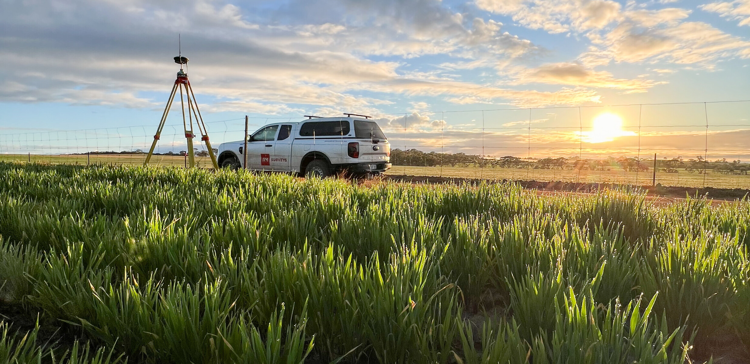
RM Surveys at the Forefront of Technology
Along with our staff expansion has come new equipment! Along with a couple of new Ford Rangers, we have also increased our stock of the…