How Long Does a Site Survey Take?
If you’re planning a construction project, buying land, or preparing to develop a site, one of the first practical questions you’re likely to ask is: how long does a site survey take?
It’s a key consideration that can significantly impact your project timeline. Developers navigating permits, builders balancing construction milestones, and landowners seeking clarity all benefit from understanding site survey timeframes. At RM Surveys, we recognise that timely, accurate data is fundamental to keeping your project on track.
What is a site survey?
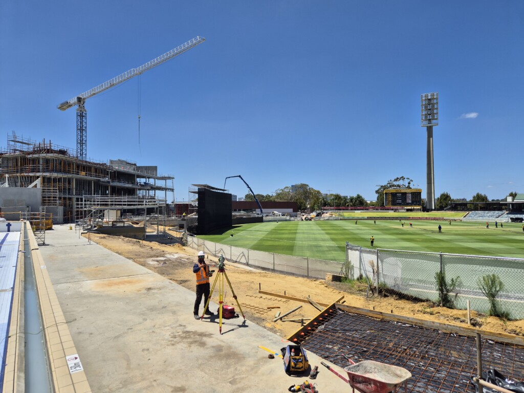
A site survey is a spatial assessment that involves the measurement and mapping of land to gather precise data on physical features, boundaries, elevations, structures, and underground utilities.
Its purpose is to provide a clear and dependable representation of the site, forming the foundation for design, planning, compliance, and construction. Depending on the scope of your project, there are various types of surveys available, each with its own process and timeframe.
How long does a site survey take?
Topographic survey
Used to map both natural and manmade features of the land, such as contours, vegetation, drainage lines, and existing structures. This data informs site grading, drainage design, and construction planning.
Average duration: From as little as half a day for smaller, straightforward areas, 1–3 days for a standard site, and up to 1 week for larger or more complex projects.
Boundary survey
Defines legal property boundaries. Often required for land transactions, new fencing, or developments near title lines.
Average duration: Pre-survey research typically takes 1–2 days. The onsite fieldwork for a simple boundary can be completed in 2 hours (though more complex sites may take longer). Post-survey analysis and reporting usually require another 1–2 days.
As-built survey
Verifies that built structures align with design plans. Frequently required at handover or for regulatory compliance.
Average duration: Around 1–3 days, depending on project complexity and site accessibility.
Underground utility survey
Maps subsurface services such as water, gas, power, and communication lines. Critical for design accuracy and site safety.
Average duration: Usually 1–5 days, based on service density and site conditions.
What affects how long a site survey takes?
Several variables can influence the duration of a site survey:
- Site size – Larger areas naturally require more time to cover.
- Terrain and vegetation – Steep slopes, dense vegetation, or uneven surfaces can slow down ground-based surveying.
- Accessibility – Remote locations or active construction sites may require additional preparation and mobilisation.
- Weather conditions – Rain, high winds, or extreme heat can limit field activity or delay drone-based surveys.
- Survey type and required accuracy – High-precision deliverables and complex datasets increase field and processing time.
- Existing data availability – Previously captured digital models or plans can reduce field time. If such data is outdated or missing, additional onsite work may be necessary.
- Age of original boundary survey – For boundary surveys, older or outdated surveys may require more extensive checks and verification, extending both field and research time.
How modern technology speeds up surveys
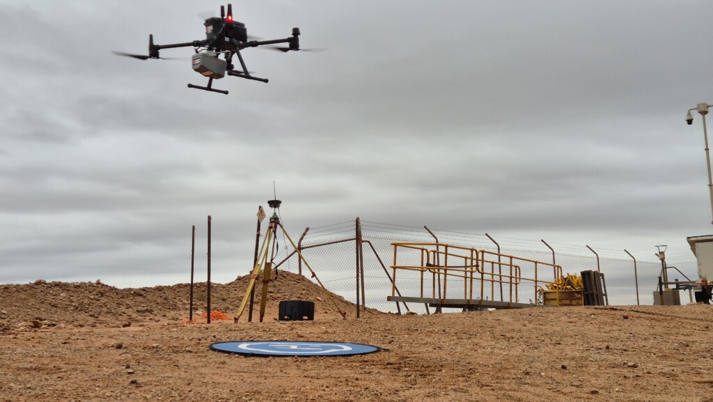
Thanks to advancements in spatial technology, surveys are now faster and more accurate than ever before:
- Remotely Piloted Aircraft Systems (RPAS) rapidly capture topographic data over large areas, significantly reducing field time.
- Laser scanning captures millions of spatial data points in moments, producing detailed 3D models.
- GPS and GNSS instruments provide real-time centimetre-level accuracy, minimising manual set-up time.
- Online data platforms enable instant sharing and analysis of results, accelerating reporting and collaboration.
By integrating these technologies into our workflows, RM Surveys delivers dependable, high-accuracy outcomes with improved efficiency, often completing standard site surveys within 2–3 business days.
What to expect when working with RM Surveys
At RM Surveys, we understand that your project’s success relies on spatial data being delivered on time, without compromise.
That’s why we:
- Provide accurate and transparent time estimates upfront
- Use advanced technology to reduce field time and improve accuracy
- Offer rapid turnaround options when your timeline demands it
- Prioritise clear, collaborative communication throughout every phase
Whether it’s a straightforward boundary check or a complex construction set-out, our Construction & Engineering and Geospatial & Digital services are designed to keep your project moving forward with clarity and confidence.
Ready to book a survey?
If you want to know how long a site survey would take for your specific project, contact the RM Surveys team.
We can provide for tailored advice based on your site, your asset, and your timeline, so you can take the next step with certainty.