
This downloadable document outlines our integrated monitoring approach, technology and delivery capability. Learn how RM Surveys and Monitel combine automated telemetry, survey control and spatial context to provide clearer visibility of asset performance.
Integrated Monitoring
See Change in ContextAutomated monitoring, accurate survey control and spatial project information - connected to give your team a clearer view of asset performance. Through our partnership with Monitel, we configure monitoring solutions around your project risks, asset environment and information requirements. From baseline establishment through construction and ongoing operation, we help you see what is changing, where it is occurring and when action may be required.

Monitoring with the context to make it useful
High-frequency project visibility
Configurable sample rates and automated telemetry provide an ongoing view of movement, deformation and changing site conditions - rather than isolated snapshots between scheduled inspections. Dashboards and reporting make current and historical information accessible to the people who need it.

Monitoring in context
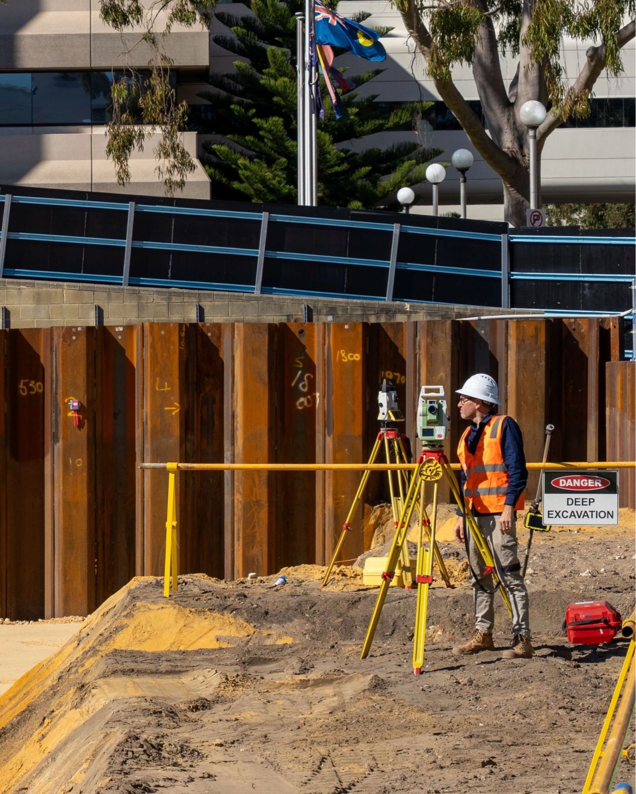
We connect monitoring data with survey control, accurate spatial positioning and relevant project information. Your team can see not only what is changing, but where it is occurring and how it relates to the surrounding asset environment.
Automated alert capability
Configurable trigger levels assess incoming data and notify nominated project contacts when agreed thresholds are reached. This provides clear, timely information to support investigation, survey verification and an appropriate project response.
One Coordinated Monitoring Solution
Integrated monitoring brings together practical survey expertise, digital delivery and specialist instrumentation. Our team works closely with contractors, asset owners, engineers and project stakeholders to establish monitoring systems that are technically robust and practical to use.
With accurate survey control and clear information delivery at the centre of every solution, we help teams make confident, timely decisions throughout construction and operation.
Integrated monitoring capabilities
Instrumentation Selected for Your Asset
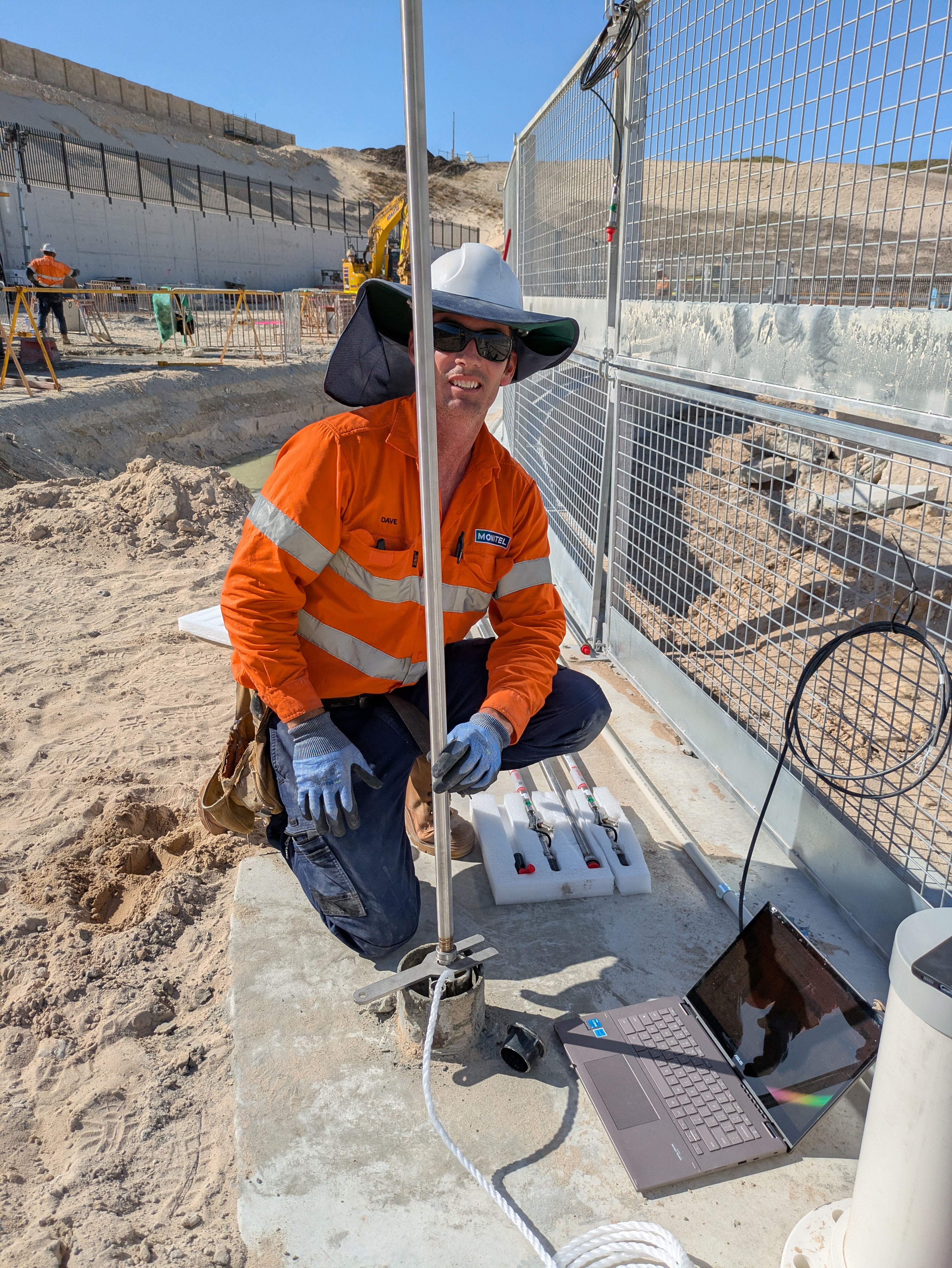
Each monitoring solution is configured around the asset, project risks and information required by your team. Through Monitel, we select, install and configure fit-for-purpose instrumentation to capture the conditions that matter.
Geotechnical Instrumentation
Inclinometers, piezometers, extensometers and settlement cells to help measure lateral movement, pore-water pressure, settlement and ground deformation.
Structural instrumentation
Wireless tiltmeters, strain gauges, crack meters and laser distance sensors to monitor tilt, strain, cracking, convergence and displacement.
Vibration Monitoring
Vibration monitoring to provide visibility of changing site conditions around sensitive assets and construction activity.
Empowering Decisions with Insight
Discover the full spectrum of our Integrated Monitoring Solutions expertise with our Capability Statement.

Capability Statement
Information You Can Act On
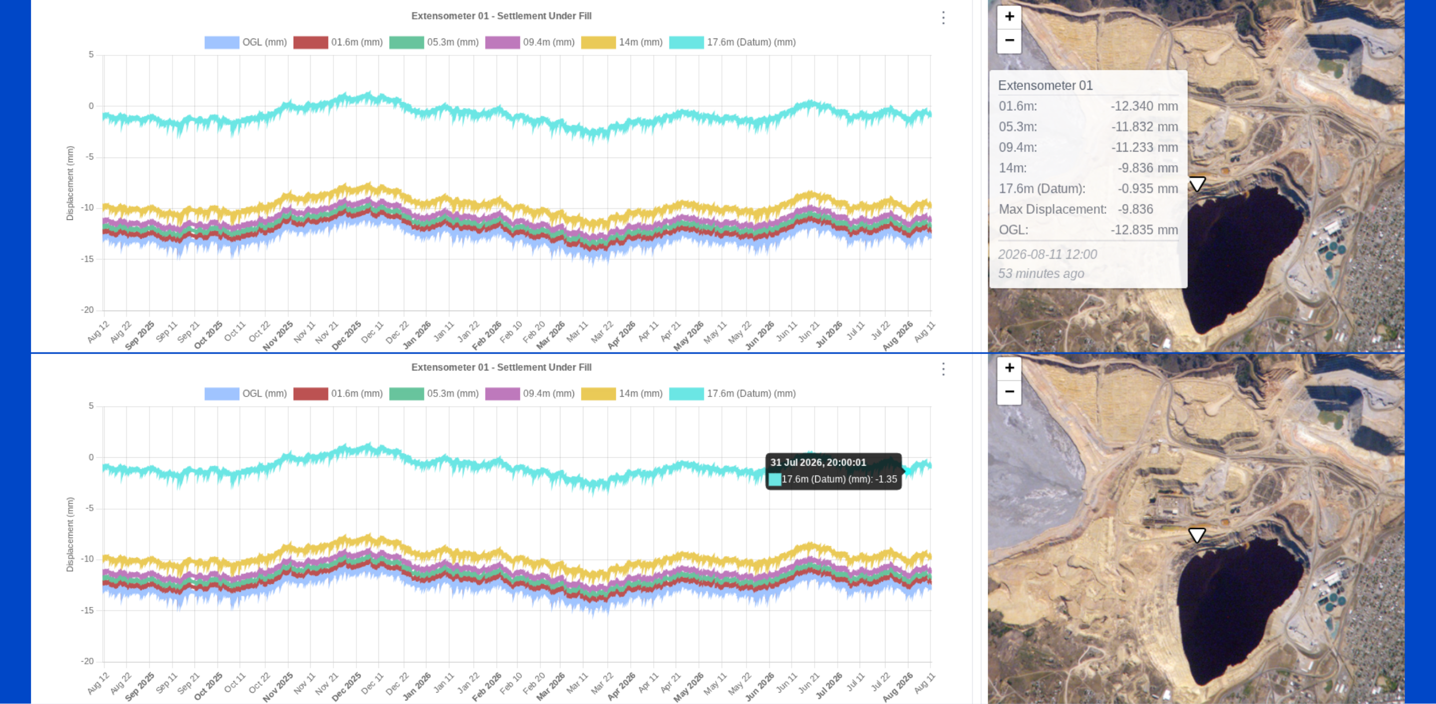
Monitoring data is delivered through connected dashboards, automated alerts and reporting, with each measurement accurately positioned within its wider asset environment.
Instead of working from separate readings and disconnected reports, project teams can access current conditions, developing trends and historical information in one place.
Live data can be viewed alongside spatial location and detailed instrument readings, helping teams understand what is changing, where it is occurring and how it relates to the asset or activity around it.
This supports clearer communication between project stakeholders and provides the information needed to investigate threshold events, verify conditions and make timely, informed decisions.
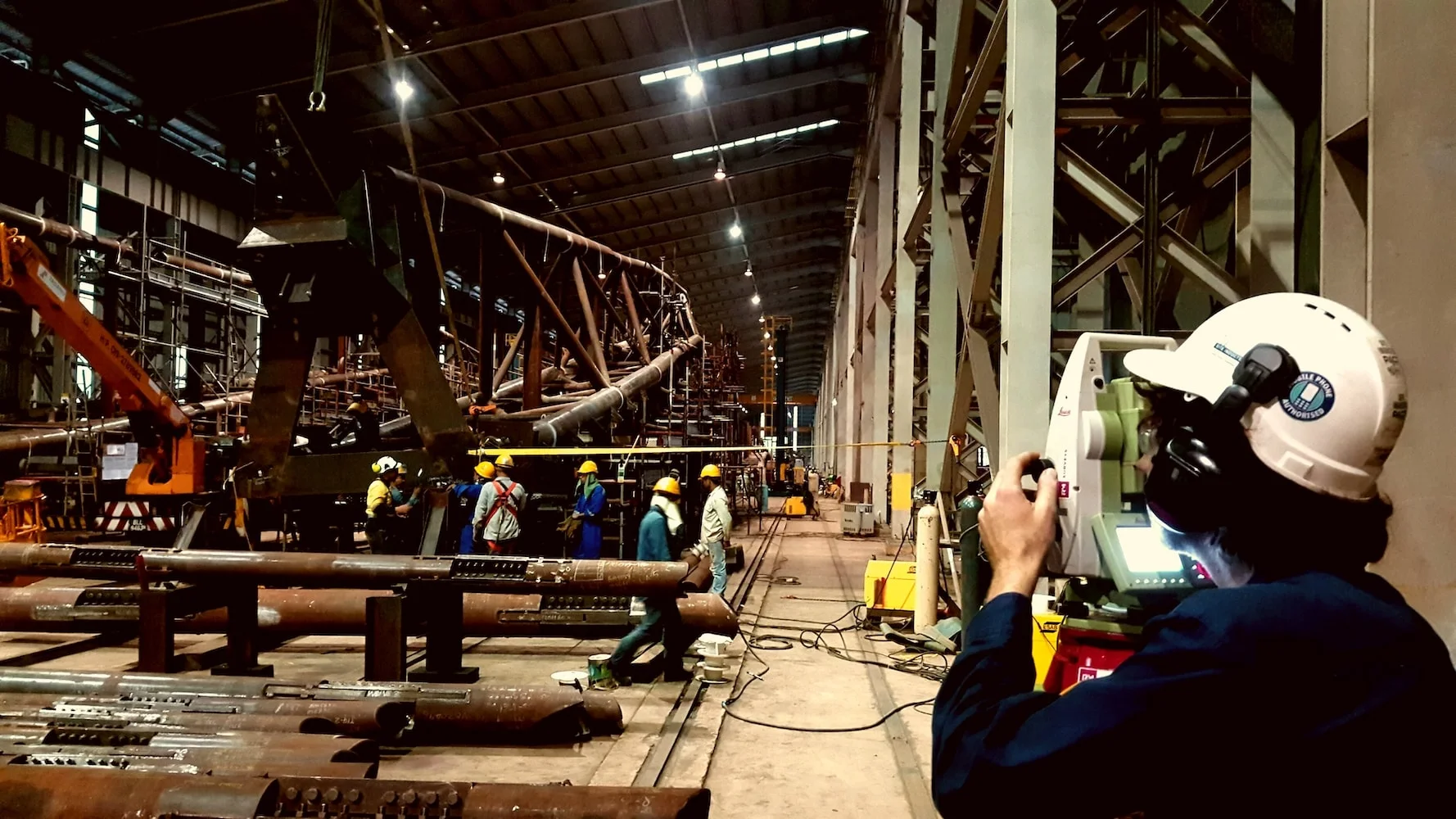
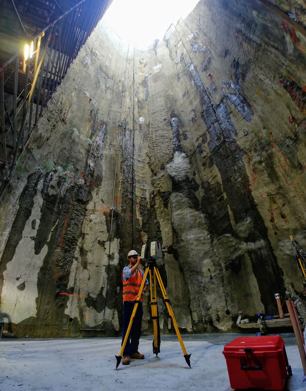
Configured for complex project environments

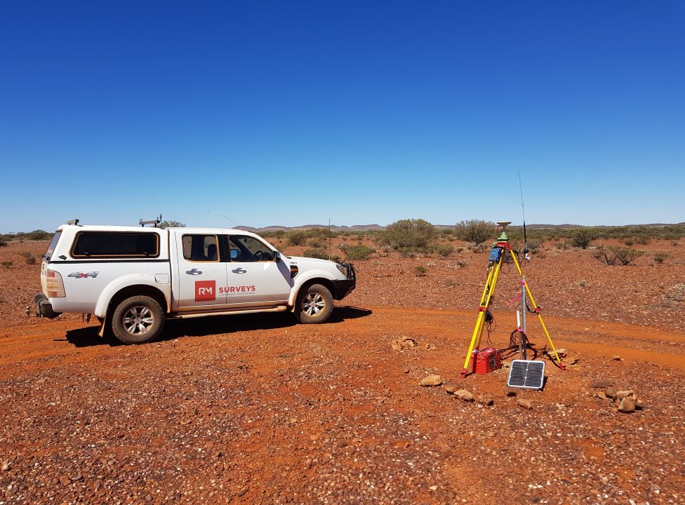
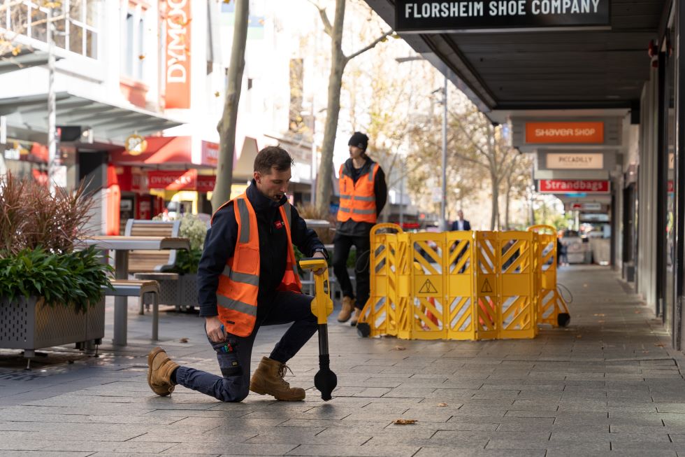
Integrated Monitoring Solutions
See Change Across Your Asset Environment
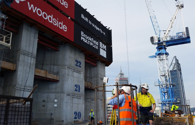
Structures and sites respond continuously to construction activity, loading and changing ground conditions. RM Surveys combines automated monitoring, accurate survey control and spatial project information to give your team a clearer view of asset performance.
Through our partnership with Monitel, dashboards, alerts and reporting help you understand what is changing, where it is occurring and when action may be required.
Frequently Asked Questions
What is integrated monitoring?
Integrated monitoring combines specialist instrumentation and automated telemetry with accurate survey control, spatial information and connected data delivery. It helps project teams understand what is changing, where it is occurring and how it relates to the wider asset environment.
What can be monitored?
Depending on the asset and project risks, monitoring may focus on settlement, lateral movement, pore-water pressure, ground deformation, tilt, strain, cracking, convergence, displacement or vibration.
What happens when a trigger level is reached?
Alert thresholds and escalation pathways are agreed with the client. When a trigger level is reached, nominated contacts are notified so the condition can be investigated, verified and managed in line with the agreed project response process.
Can monitoring data be combined with other project information?
Yes. RM Surveys can connect monitoring data with survey control, spatial datasets and relevant digital project information to provide useful context around each measurement.