
News

WA Surveying at a Crossroads: Addressing the Skills Shortage in Western Australia
Western Australia’s economy is expanding at pace. From mining and energy projects in the Pilbara, to major infrastructure upgrades across the state, to ongoing urban development in Perth, the scale of activity has created opportunities on a scale not seen in decades.

How Long Does a Site Survey Take?
If you’re planning a construction project, buying land, or preparing to develop a site, one of the first practical questions you’re likely to ask is: how long does a site survey take?

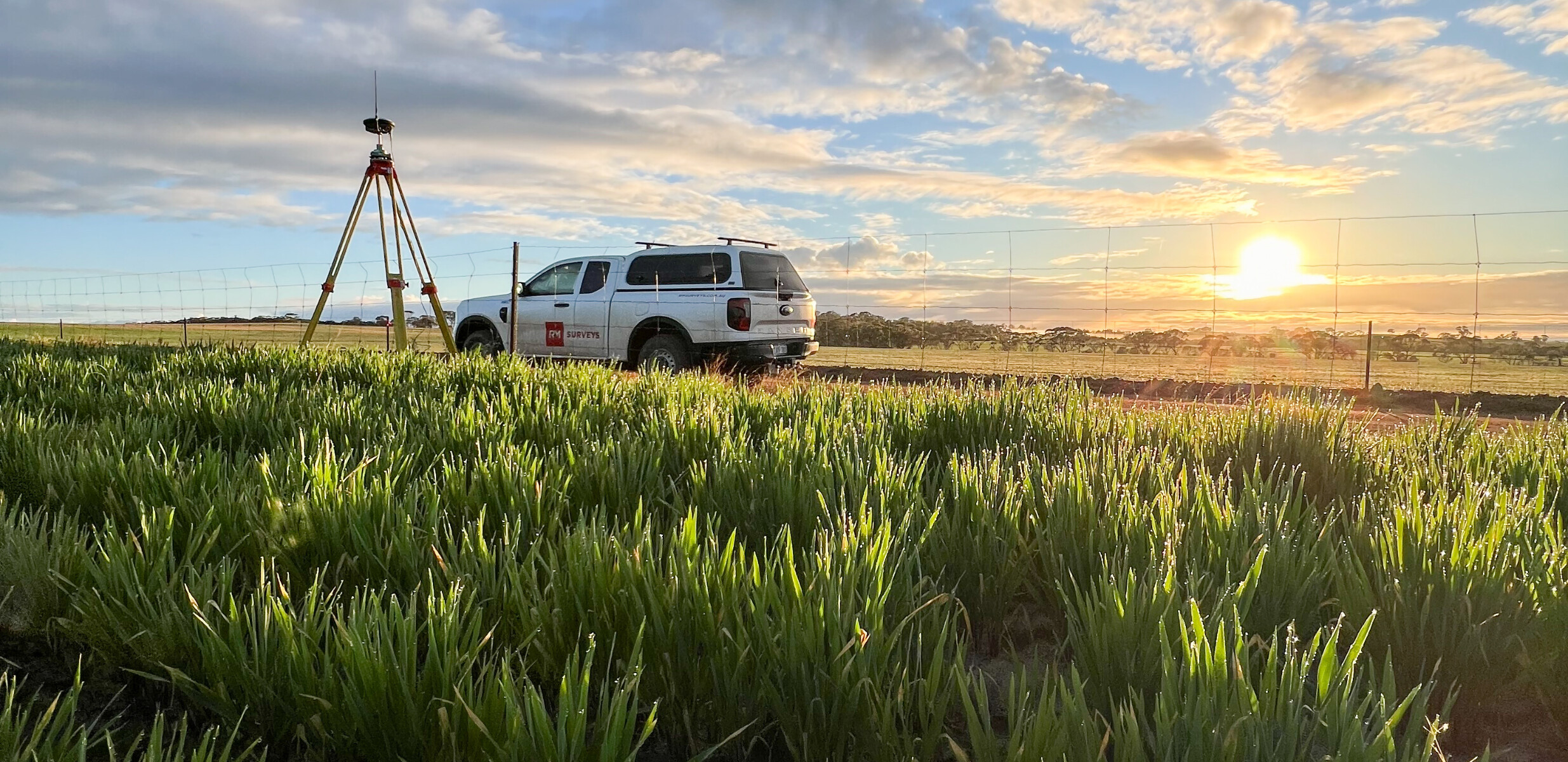
The Role of Dimensional Control in Remote Projects
At RM Surveys, we understand that remote projects across Western Australia demand more than routine surveying. They require a partner who combines precision, foresight and a holistic view of your asset.
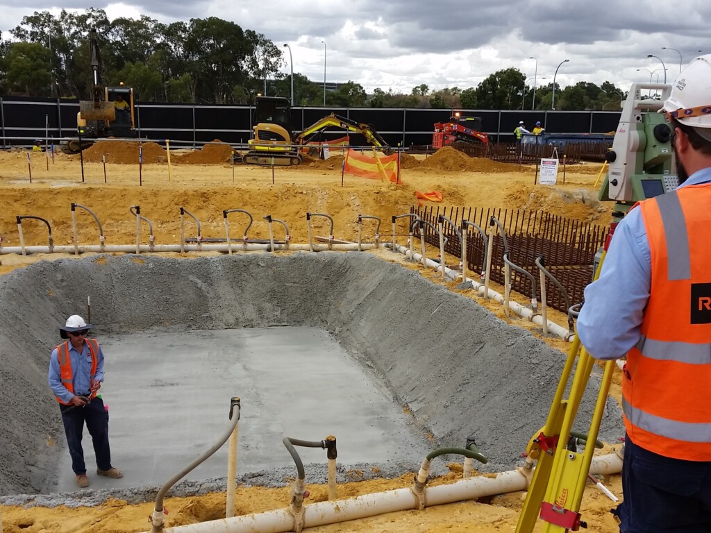
How Does Land Surveying Work? The Process Explained Step by Step
At RM Surveys, we understand that every successful project starts with spatial clarity. From defining legal boundaries to supporting design, construction, and compliance, land surveying gives you the confidence to plan and build with certainty.

The Reference Mark – Issue 2, July 2025
This July 2025 edition of The Reference Mark highlights how RM Surveys is combining advanced surveying technology, international best practice, and ongoing investment in people to meet rising demand for precise, high-quality spatial data across Australia.

Drone Land Surveying: How New Technology is Reshaping Spatial Data
At RM Surveys we combine cutting‑edge equipment with decades of experience to deliver spatial data that gives our clients the bigger picture.
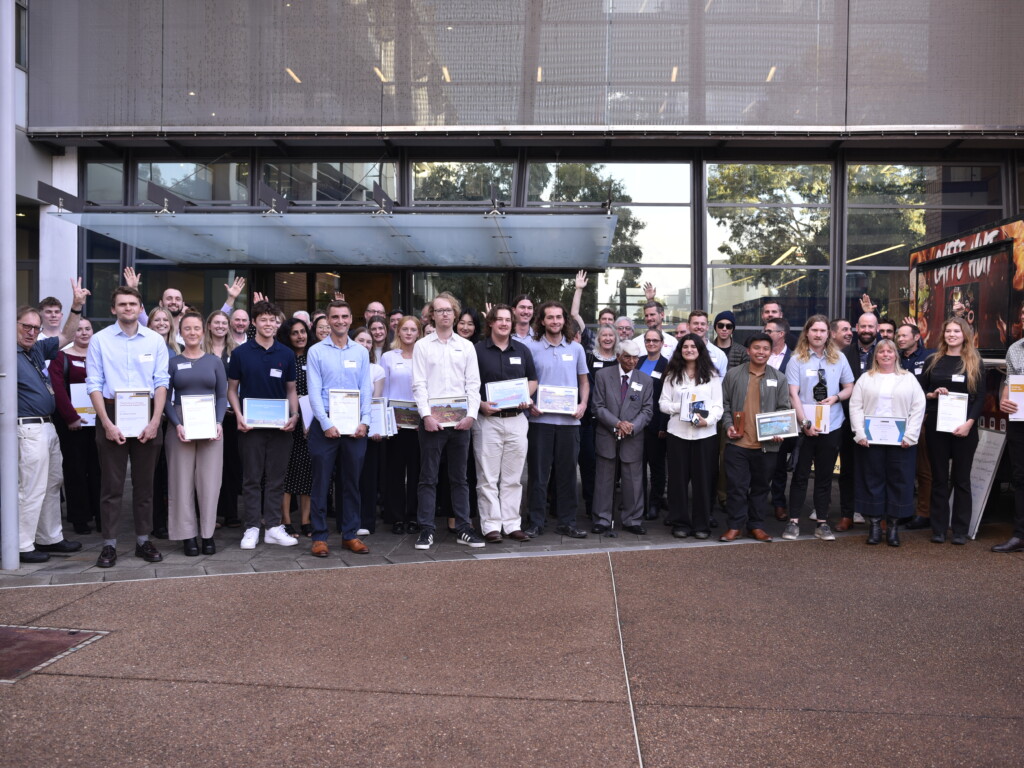
RM Surveys Honours Top Curtin Surveying Student at Curtin University Awards
RM Surveys was proud to sponsor a surveying student award at Curtin University’s School of Earth and Planetary Sciences (EPS) prizegiving ceremony, held on Friday 30 May 2025.

What Are Geospatial Services? A Guide to Mapping, Insight, and Spatial Intelligence
Geospatial services help us understand the world in smarter ways — from where things are to how they’re changing over time. By gathering and applying spatial data, these services empower better decisions across land, infrastructure, and environmental assets.

The Reference Mark – Issue 1, April 2025
This inaugural April 2025 issue of The Reference Mark showcases how RM Surveys is combining leadership changes, long-term team development, and technology adoption to strengthen its position as a precision-focused surveying partner across Western Australia and beyond.

RM Surveys’ Commitment to Reconciliation and National Reconciliation Week 2025
From 27 May to 3 June, RM Surveys joins communities across Australia in celebrating National Reconciliation Week 2025, embracing this year’s theme: Bridging Now to Next.