
Digital Construction & Spatial Data Management

Connect digital design with real-world construction conditions through coordinated spatial data, survey-ready models and practical support for site teams.

Connecting Digital Design with Construction Delivery

RM Surveys provides digital construction and spatial data management services that help project teams translate design information into accurate on-site execution.

Our specialists prepare survey-ready data from engineering drawings and digital models, supporting field set-out, construction verification and machine-control requirements.

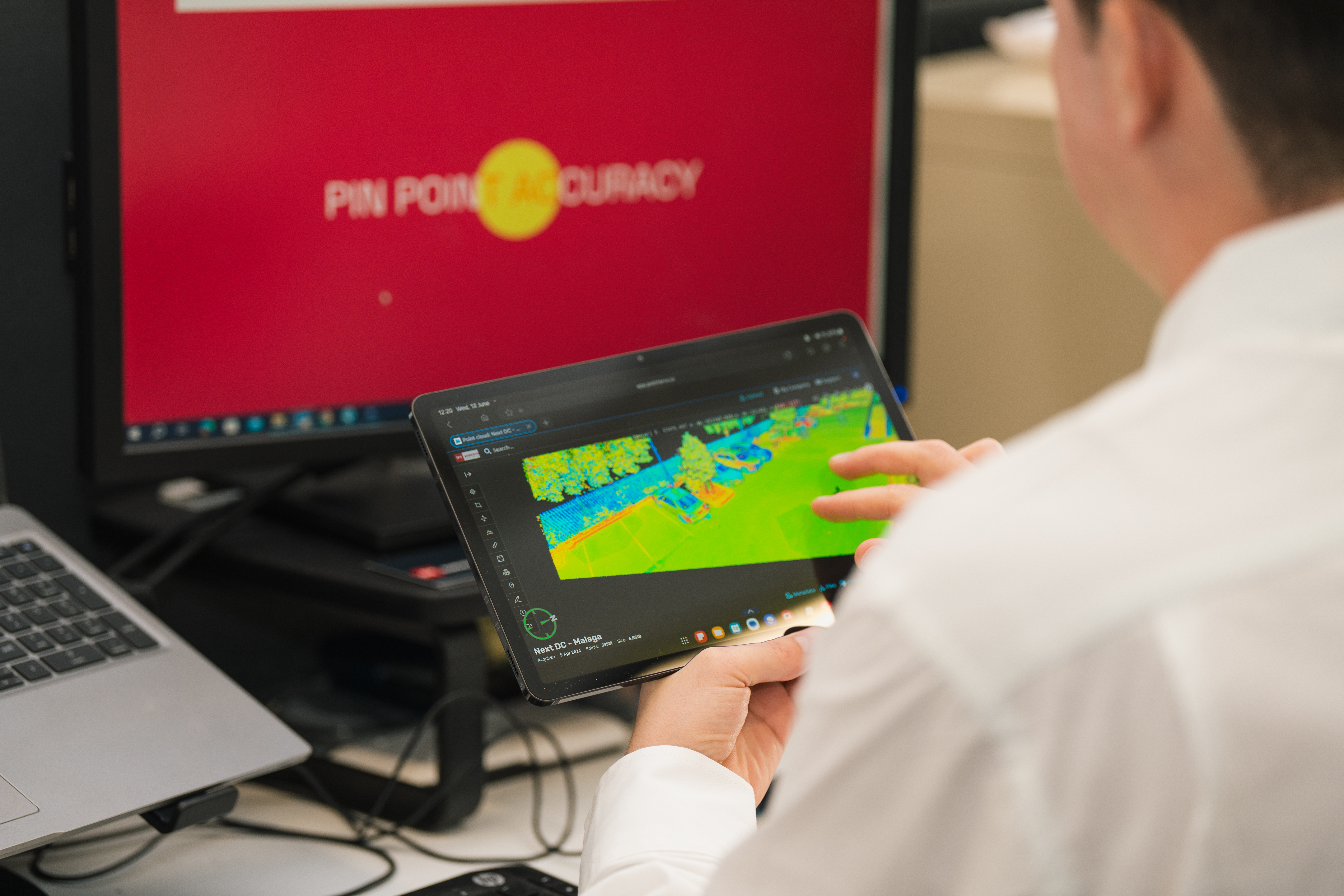
We also bring together design information, survey measurements and captured site conditions to create more coordinated spatial datasets.

From preparing field-ready design files to validating surfaces, alignments and positioning information, we help ensure digital data is suitable for practical construction use.

Working closely with construction surveyors, builders and subcontractors, we support the flow of reliable information between digital design and the physical site.

Making Digital Information Useful on Site

Digital construction relies on accurate connections between design models, survey control and actual site conditions.

Differences between drawings, models and surveyed information can affect set-out, construction sequencing and verification.

Our specialists review and prepare spatial information for field use, helping identify inconsistencies and reduce the risk of outdated or unsuitable data being carried into construction.

By integrating survey measurements with digital design and as-constructed information, we give project teams a clearer understanding of existing conditions and provide useful records for verification and handover.

Frequently Asked Questions

What is digital construction surveying?

Digital construction surveying uses spatial data, design models and survey measurements to support construction set-out, coordination, verification and documentation.

Can RM Surveys work with BIM models?

Yes. We can work with suitable BIM and other digital design information for survey-related applications, including field-ready data preparation and comparison with measured site conditions.

What is survey-ready design data?

Survey-ready design data is information prepared and checked for use with surveying or machine-control equipment, including appropriate geometry, coordinates, levels and file formats.

Can you compare surveyed conditions with design models?

Yes. We can integrate survey measurements and captured site conditions with design information to support construction verification and identify differences that may require review.