
News


The Reference Mark – Issue 9, September 2026
In this issue, we explore how technology and evolving project demands are shaping the surveying and construction sectors, including the launch of our Integrated Monitoring Solutions. We also highlight our work across complex environments and celebrate the people and experience that continue to strengthen our capabilities.
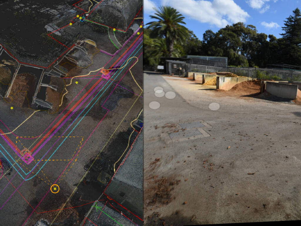
From Sensor Data to Confident Decisions: How Monitoring Reporting Supports Your Project Team

The Reference Mark – Issue 8, July 2026
In this issue, we explore how rising housing demand is reshaping the built environment and what that means for the surveying profession, alongside a closer look at how our teams are supporting project delivery across Western Australia.

Why Automatic Deformation Monitoring Systems Are Becoming Essential
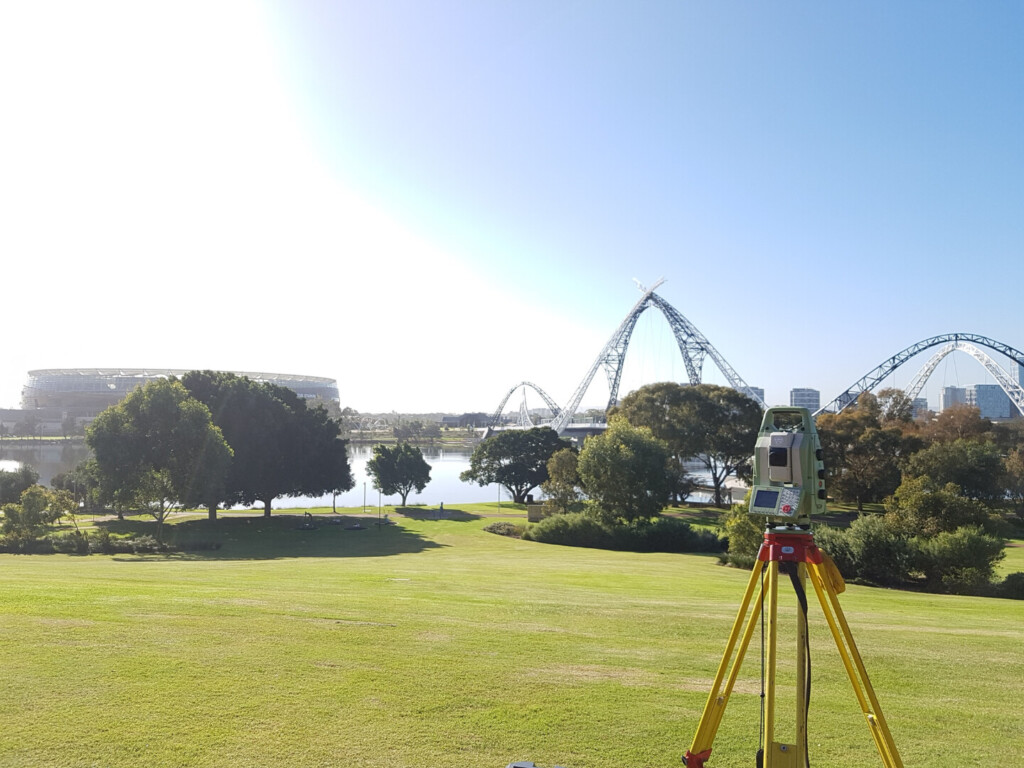
Why Topographic Survey Data Still Underpins Every Successful Project

The Reference Mark – Issue 7, May 2026
In this issue, we explore the evolving role of integrated project delivery, digital capability, and the people driving RM Surveys’ continued growth and innovation.

A Deep Dive into the Role of a Dimensional Control Surveyor at RM Surveys
Dimensional Control surveyors at RM Surveys work in environments where precision directly affects whether complex assets can be assembled, installed, and operated safely.

The Reference Mark – Issue 6, March 2026
In this issue, we explore how rising housing demand is reshaping the built environment and what that means for the surveying profession, alongside a closer look at how our teams are supporting project delivery across Western Australia.

The Reference Mark – Issue 5, January 2026
In this issue, we share updates from our CEO, highlight recent project delivery across Western Australia, and outline how our continued investment in people, capability and systems is strengthening the way we support clients on complex projects.

A-Spec Solutions for Local Government Asset Management
Across Australia, local governments are rapidly evolving how they manage public assets. Static as-constructed drawings are no longer sufficient; councils are increasingly adopting GIS-based asset management systems that allow them to track infrastructure, services, and public amenities over time, with accurate spatial and attribute data forming the foundation of decision-making.